Functional urban structure
How to read a territory
A method to read how Cancún works: grouping blocks by their variable profile until functional zones and subzones appear that the street grid does not reveal.
In one sentenceOrganises the territory into comparable units for planning and monitoring.
Spanish original: Cómo se lee un territorio
How do you read a territory?
Cancún has a plan everyone recognises and a functional logic that is rarely measured. The grid of superblocks, avenues and U-turns organises movement, but it does not explain how each piece of the city lives and works.
This project takes the reading down to the block, describes each one with a profile of variables and groups similar blocks until functional zones and subzones emerge.
Key findings
The functional structure emerges around nine groups
With few groups the city looks uniform; with too many, detail becomes noise. Around nine families the city's logic becomes legible.
Edges are transitions, not lines
Functional zones do not follow administrative limits or the grid; they change gradually between neighbouring blocks.
Approach
Step 1
Describe every block with comparable variables: demographics, housing, marginalisation, accessibility and mobility.
Step 2
Group blocks by similarity with unsupervised clustering, increasing the number of groups to see when structure emerges and when detail becomes noise.
Step 3
Treat functional zones as families of behaviour whose edges are transitions.
How to read it
- Clusters are families of behaviour, not administrative or regulatory boundaries.
- The number of groups is a reading decision: more groups is more detail, not more precision, and eventually noise.
- Variables with little or no variation do not effectively take part in the grouping.
- A block on an edge can resemble two families at once.
Data
Block clustering layer
12,639 blocks with their variable profile and cluster assignment in the 9- and 15-group k-means solutions.
Block variables
Housing density, cars per dwelling, share of children and over-65s, dwellings with 2+ bedrooms, street trees, marginalisation index and walking accessibility.
What you just saw
Functional regionalisation built from block typologies.
What else this method can answer
- Which kinds of city coexist?
- Which unit should a programme use?
- How should indicators be grouped?
In other places
Replicable with block-level census data.
Line of work
D · Territorial diagnosis and monitoring →Do you have a similar question in your city?
Describe the problem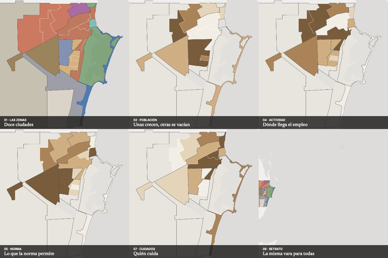 Next in Urban structure and societyTwelve cities in one