Projects
Case studies built around public problems.
24 analyses of Cancún, each with its question, method, data and what its figures cannot say. Grouped into four themes. The interactive atlases are in Spanish.
Theme
Accessibility and mobility
How far people walk, what they can reach and what it costs to move around the city.
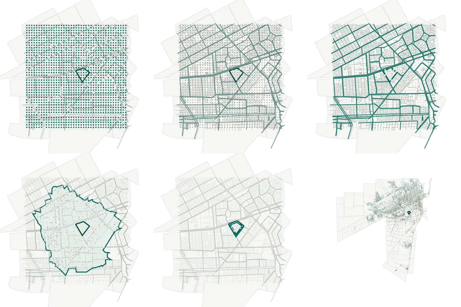
Urban accessibility diagnosis
The 15-minute city
Which everyday opportunities — shopping, learning, care, leisure, work, reuse and repair — can be reached from each of Cancún's 264 superblocks on foot, by bicycle and by car, and how the calculation is built step by step.
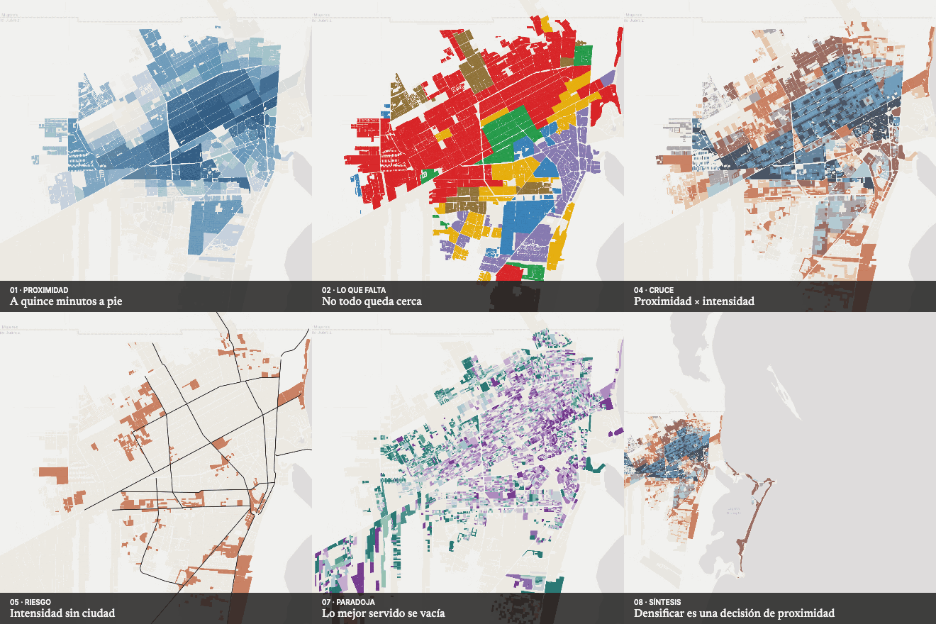
Urban intensity and proximity
Densify where there is city?
An atlas that crosses the intensity set by current zoning with walking proximity and 15-minute opportunities in Cancún: where zoning allows density with low proximity, where proximity is high but intensity low, and why the best-served areas are losing residents.
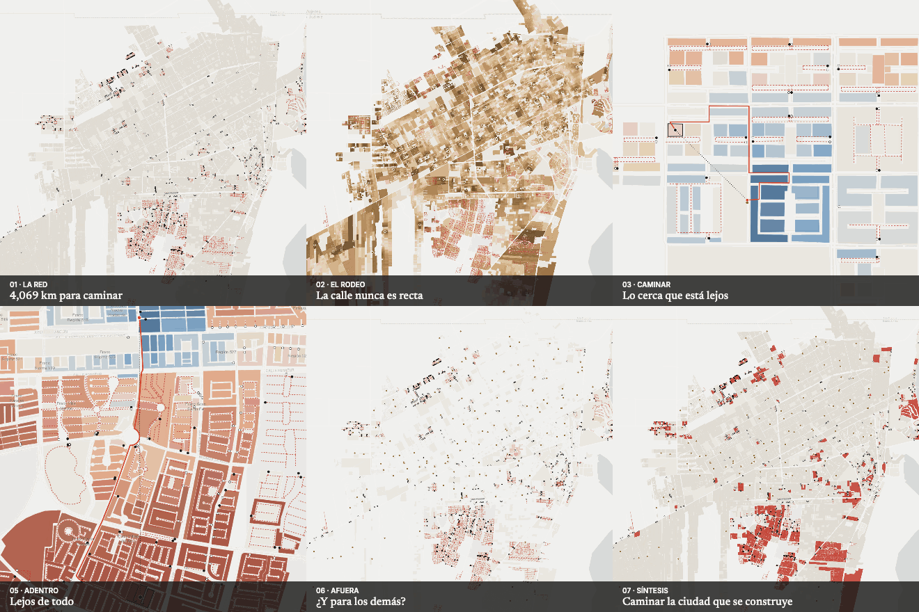
Pedestrian network analysis
The walled city
How far people really walk to the primary school, day care, corner shop or clinic in Cancún, measured on the OpenStreetMap street network, and what changes for those who live behind a gate.
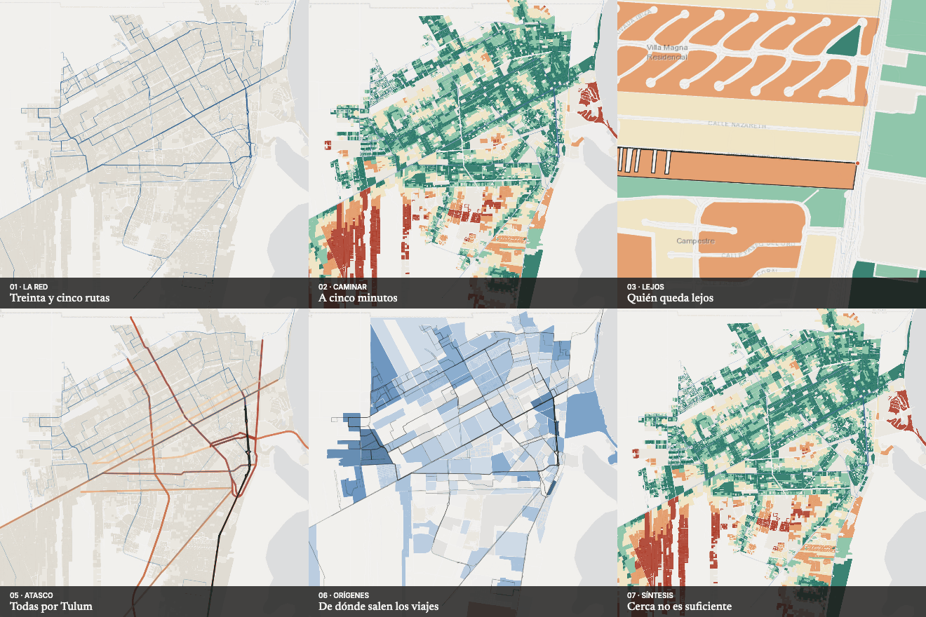
Public transport analysis
How far is the bus?
Walking coverage of Cancún's public transport: how far people walk to a route, how many options there are within five minutes, which congested avenues the routes use and where registered origins come from.
Accessibility analysis
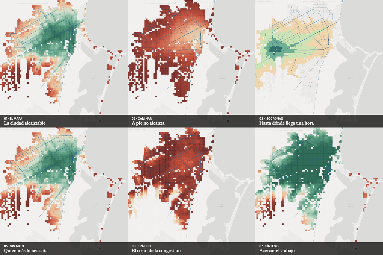
One hour by bus
How many jobs each Cancún resident can reach in 30, 45 and 60 minutes on foot and by bus: an accessibility model with live isochrones that measures inequality and the cost of congestion.
Care and mobility analysis
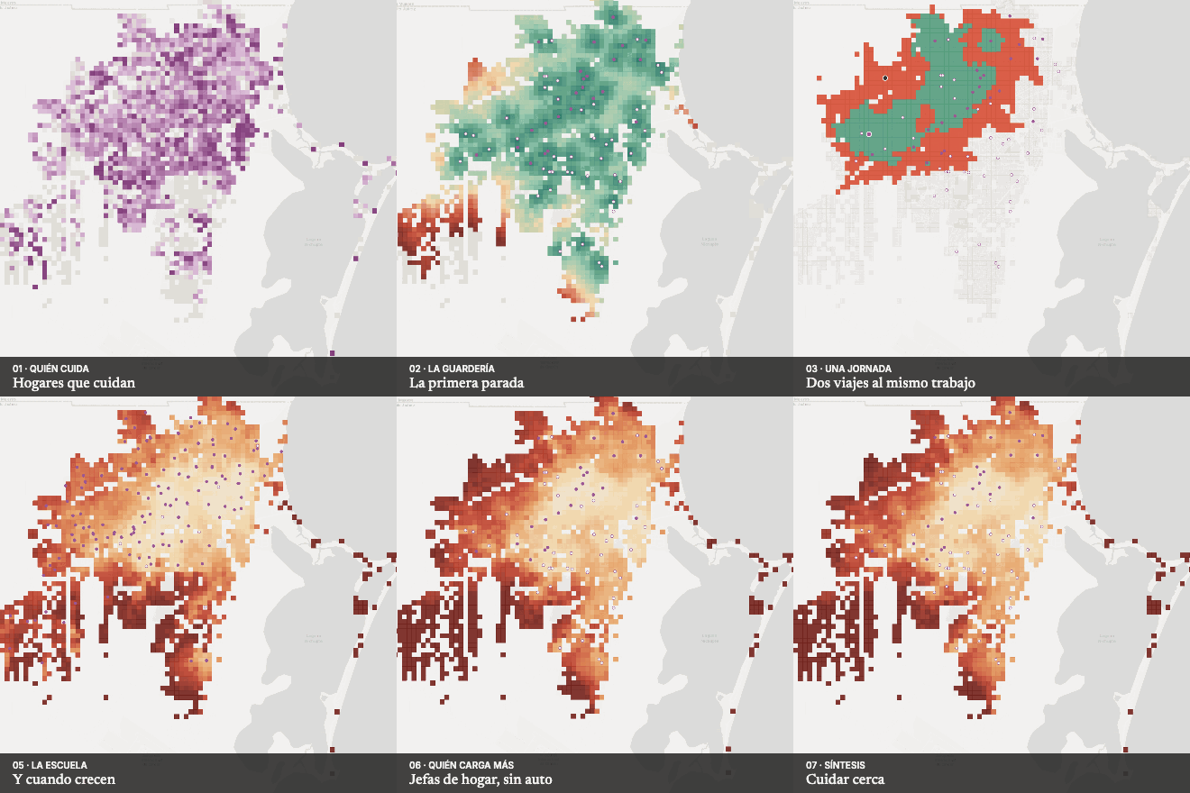
The care commute
How many jobs are lost, on foot and by bus, by someone who must drop a child at day care or school before going to work: the care system as a mobility system.
Theme
Safe streets and risk
Where people get hurt on the street and where the territory itself is a threat.
Crossing prioritisation model
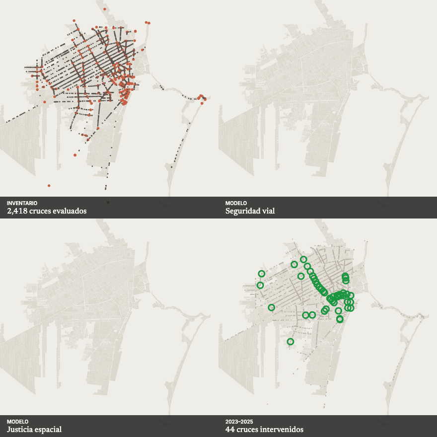
Safe Crossings
A territorial model to decide which crossings to treat first in Benito Juárez from spatial justice, universal accessibility and road safety, checked against 35 crossings already treated and against street observation.
Road safety analysis
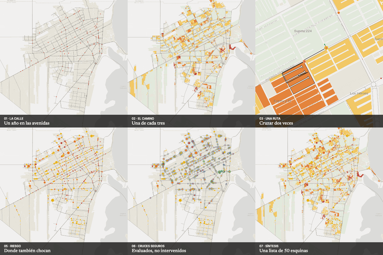
Crossing to get there
One in three children in Cancún crosses an avenue to walk to primary school; half of those crossings are concentrated at 50 corners, most already in the municipal crossings inventory, which makes them easier to prioritise.
Urban corridor and road safety
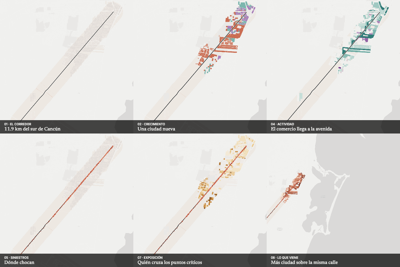
The city arrived before the street
An atlas of the Huayacán Avenue corridor, read alongside its mobility planning: how southern Cancún grew, who lives by the avenue, where crashes concentrate and what zoning is coming, kilometre by kilometre.
Road safety on a tourist corridor
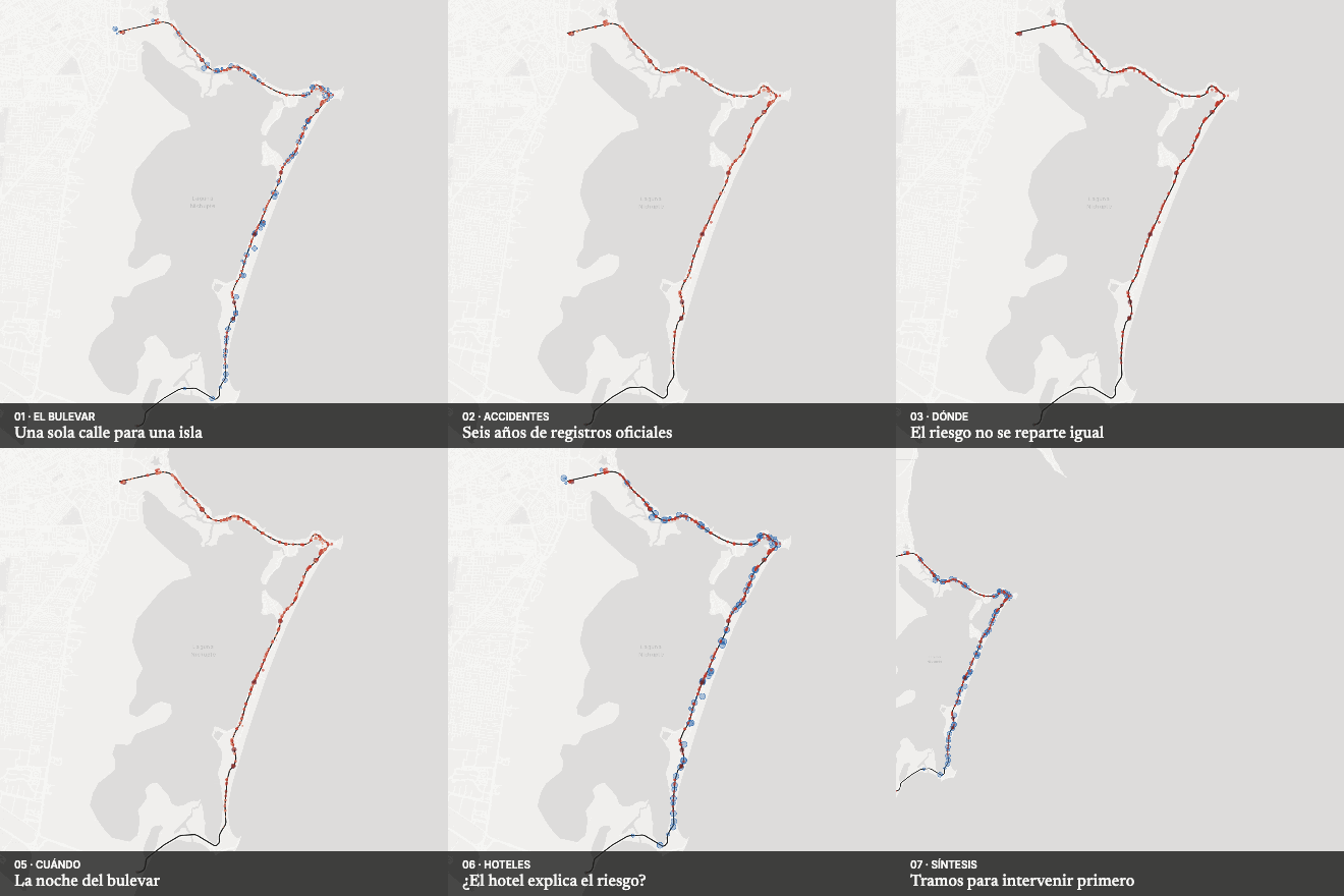
The hotel boulevard
An atlas of six years of traffic crashes on Kukulcán Boulevard: where victims concentrate along 25 km, at what time, who is affected and whether hotels explain the risk.
Coastal risk analysis
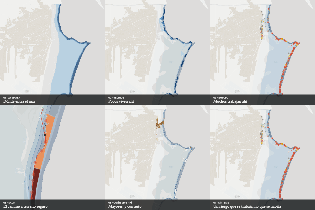
The city under the surge
Who lives, who works and who stays in Cancún's storm-surge hazard zone, and how far they must walk to get out of it.
Theme
Land, housing and zoning
What zoning allows, what gets built, who stays and where the city should grow.
Urban intensity and land suitability
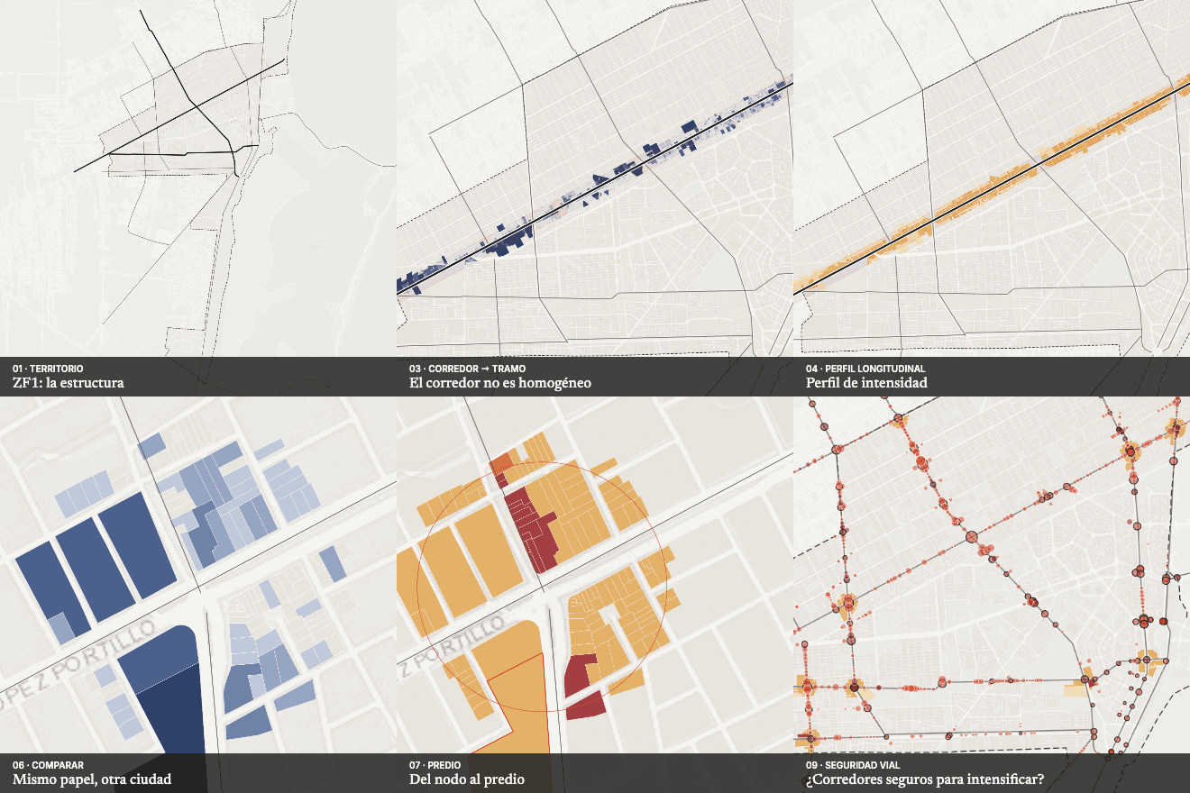
Selective intensity
An interactive atlas to decide where and how much to intensify in Cancún's urban core: from corridor to segment, from node to parcel, combining parcel structure, urban dynamics and physical capacity.
Zoning and buildable capacity
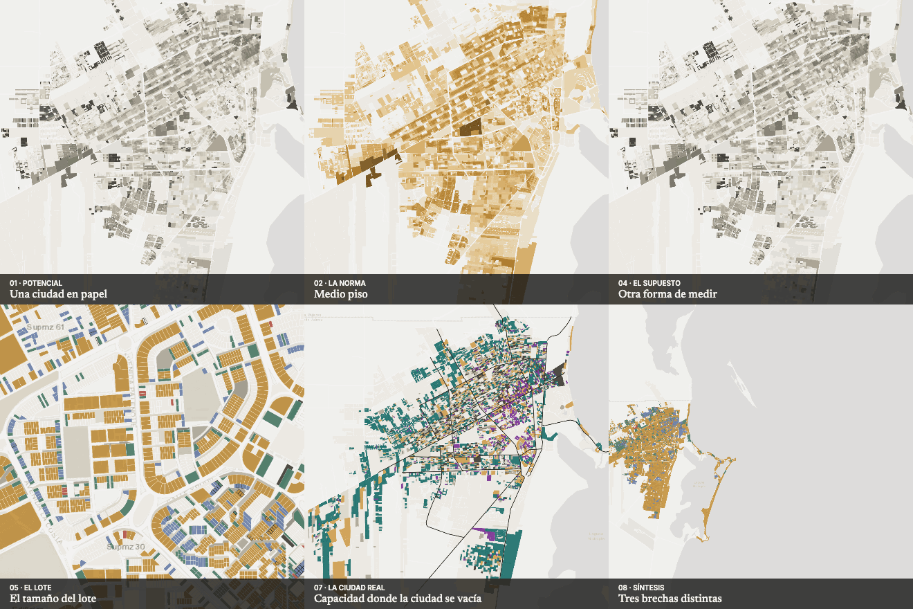
Can the plan be built?
An atlas that breaks down, lot by lot, the gap between what current zoning allows and what fits on each parcel in Cancún: how much is written into the rules themselves, how much depends on how a building is modelled and how much is a physical limit of the lot.
Regulatory and vacant-land analysis
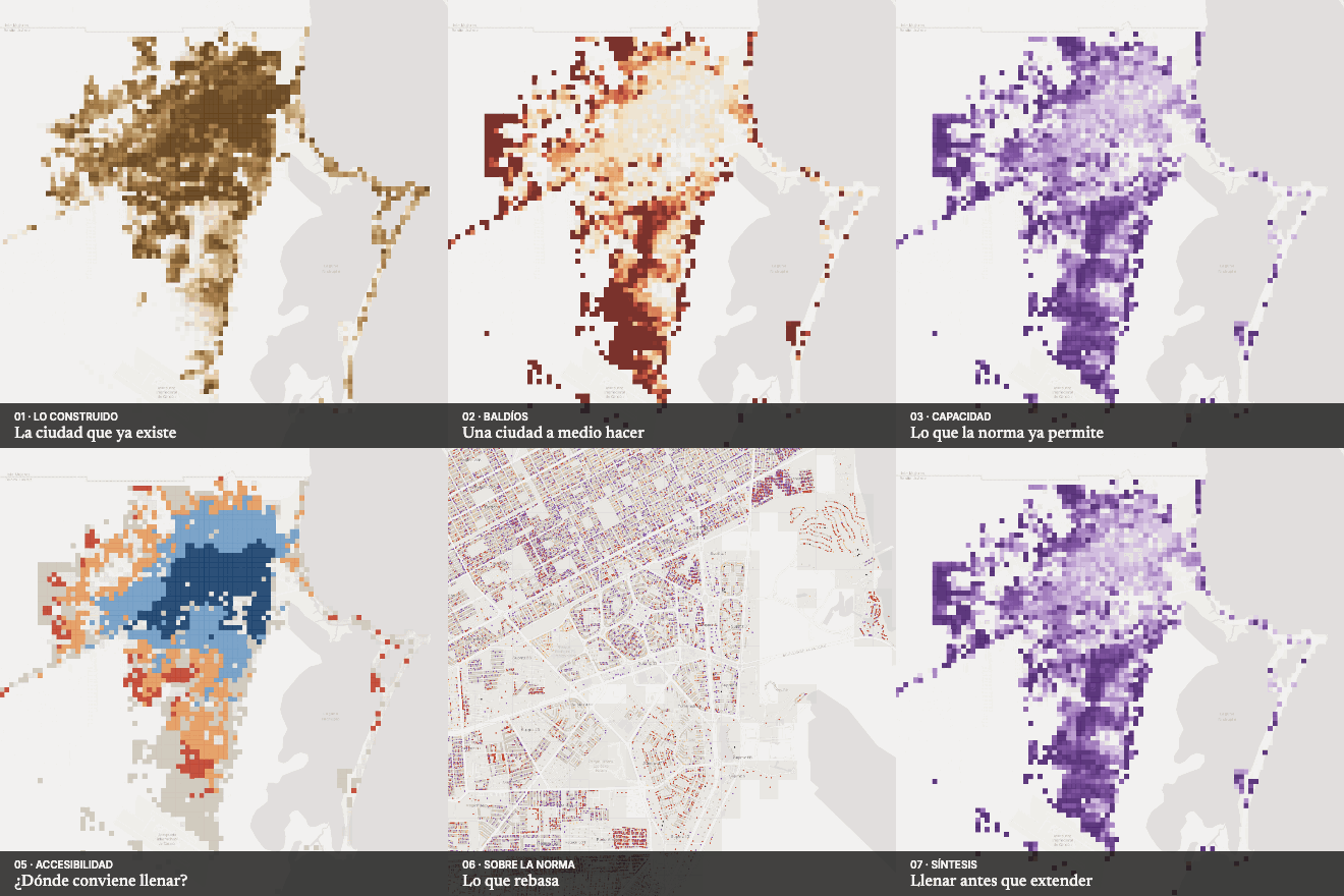
Zoning against the built city
The footprints of 261,000 buildings compared parcel by parcel with current zoning: Cancún has 4,123 ha of vacant land where zoning already allows 115 million m².
Planning tool
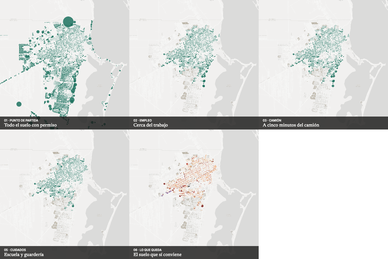
Where to grow?
A tool of explicit filters over Cancún's 46,000 vacant lots: with accessible jobs, a nearby bus, outside hazard and with school and day care at hand, 11% of the capacity zoning already allows survives.
Emptying, housing and land value
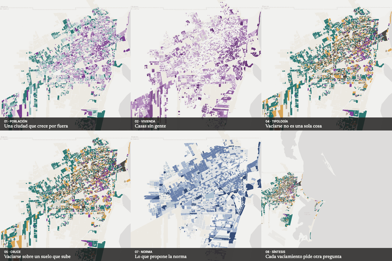
The emptying city
An atlas of the forms of residential emptying in Cancún: where the consolidated city loses residents, how much housing is not permanently occupied, what land prices do and what current zoning proposes there.
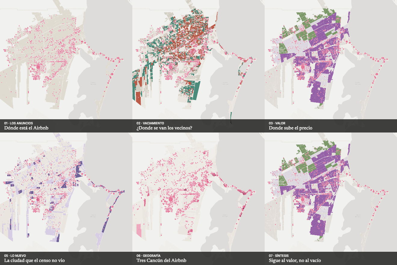
Housing and tourism analysis
Is Airbnb emptying the city?
2026 Airbnb listings compared with the emptying city, the appreciating city and the city of second homes: Cancún's Airbnb follows price, not emptying.
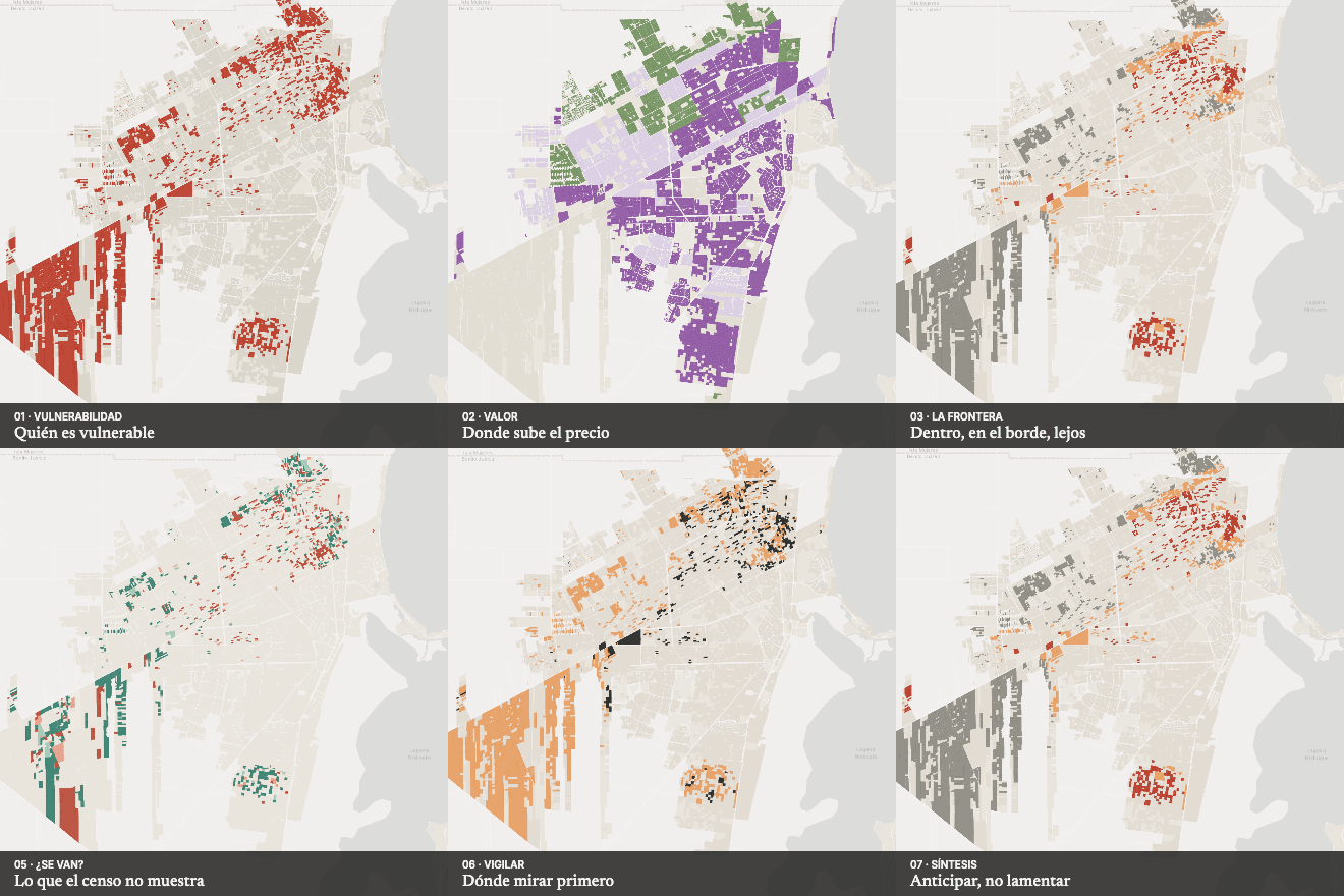
Housing and displacement analysis
The appreciation frontier
Almost 80,000 people in vulnerable conditions live inside or at the edge of the Cancún areas where land prices are rising; up to 2020, however, the census does not show appreciation pushing them out.
Theme
Urban structure and society
How the city is organised, where it works, how it changes and who provides care.
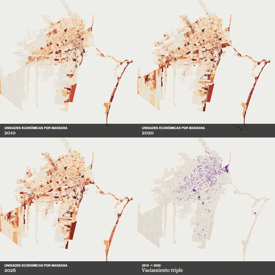
Urban dynamics and territorial change
Cancún in transformation
A longitudinal reading of population, economic activity and land value to see where the city is changing while its urban structure remains visible.
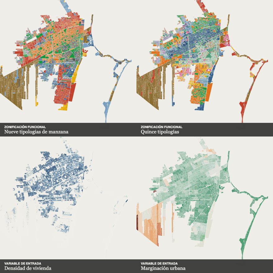
Functional urban structure
How to read a territory
A method to read how Cancún works: grouping blocks by their variable profile until functional zones and subzones appear that the street grid does not reveal.
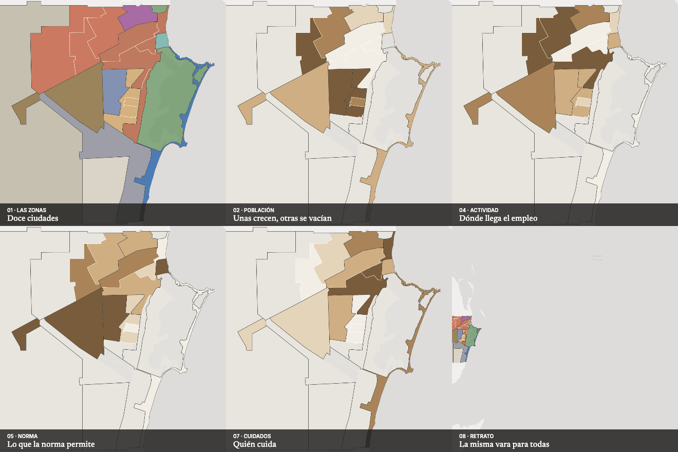
Territorial synthesis
Twelve cities in one
The synthesis of the series: a comparative portrait of Cancún's functional zones and subzones using twenty-one indicators of population, housing, land, activity, zoning, street and care, measured with the same yardstick.
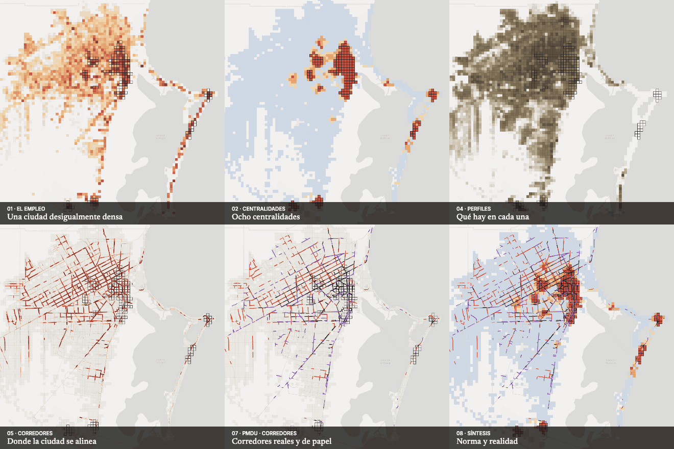
Urban structure analysis
Centres and corridors
Where Cancún's centres and corridors statistically are, how they changed between 2015 and 2026 and whether they match those proposed by current zoning.
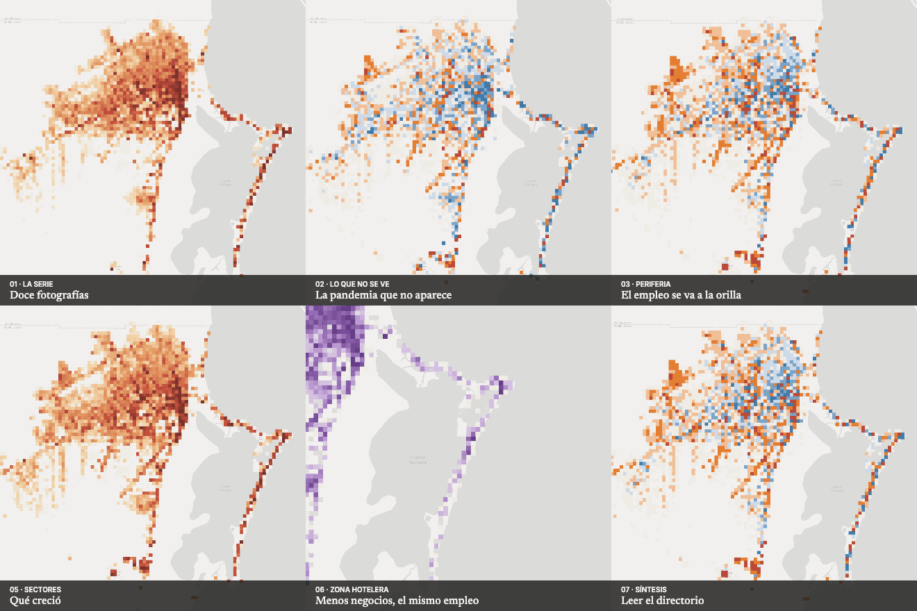
Urban economy analysis
Twelve years of business directory
Cancún's economy from 2015 to 2026 according to the business directory: employment grows on the periphery, stalls in the centre, becomes more tourist- and retail-oriented and concentrates in the hotel zone. What the directory does not see: the pandemic.
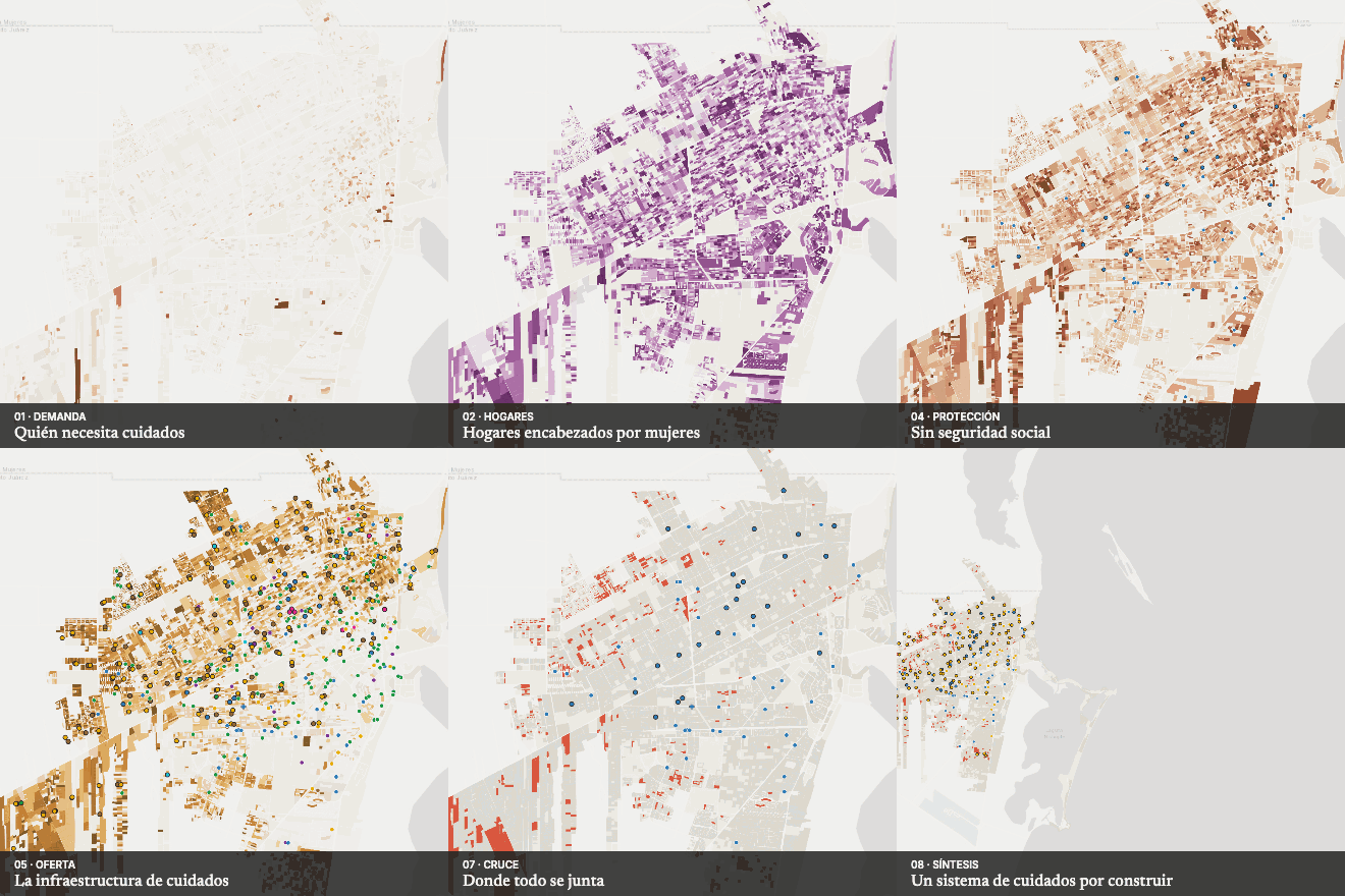
Care, gender and social infrastructure
Who cares for whom?
An atlas of the care system in Cancún: where the children, older people and people with disabilities who need care live, who sustains that work — female-headed households, women out of employment, families without social security — and how far away the infrastructure that could share it is.