Consulting · Line C
Road safety: prioritising corridors and crossings
Which crossing or segment should be treated first?
There are more dangerous spots than budget. Official records and citizen reports tell different stories, and risk usually belongs to a whole corridor, not a single corner.
Questions it answers
- Which corners concentrate the children who cross avenues?
- Which segments of a corridor hold most of the victims?
- At what time, and whom, do crashes affect?
- Does the intervention list match where the risk is?
How it is done
- Join recordsOfficial records, citizen reports and crossing inventories on the same axis.
- Reference to the corridorKilometre-by-kilometre profiles and comparable segments.
- Cross with exposurePopulation, schoolchildren and activity along the axis or at each crossing.
- Order the interventionPrioritised lists with explicit criteria and their limits.
Data
- Traffic crashes (INEGI)
- Citizen reports
- Municipal crossing inventories
- Census
- OpenStreetMap
The client's own crash or intervention records make before-and-after evaluation possible.
Possible deliverables
- Prioritised list of crossings or segments
- Corridor profile
- Analysis by hour and type of victim
- Interactive atlas
- Decision note
Usually useful for
- Municipal and state governments
- Road-safety and school-mobility programmes
- International organisations
- Firms that design corridors
Projects that back it
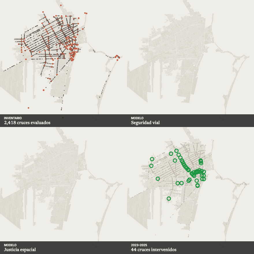 Safe CrossingsRanks more than 2,400 crossings according to the policy question — spatial justice, universal accessibility or road safety — and checks them on the street before investing.
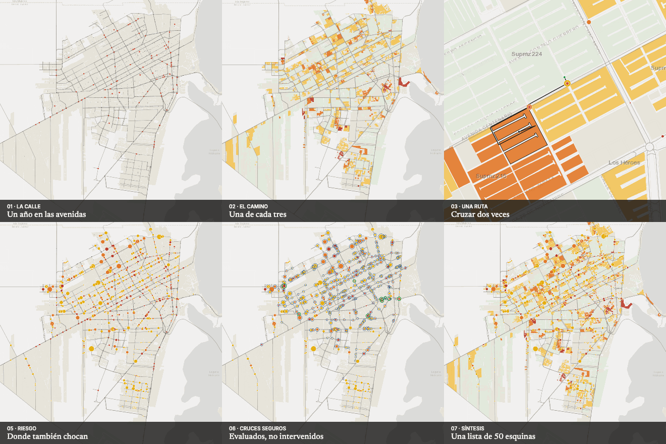 Crossing to get thereTurns an inventory of thousands of crossings into a list of 50 corners that hold half of all school crossings.
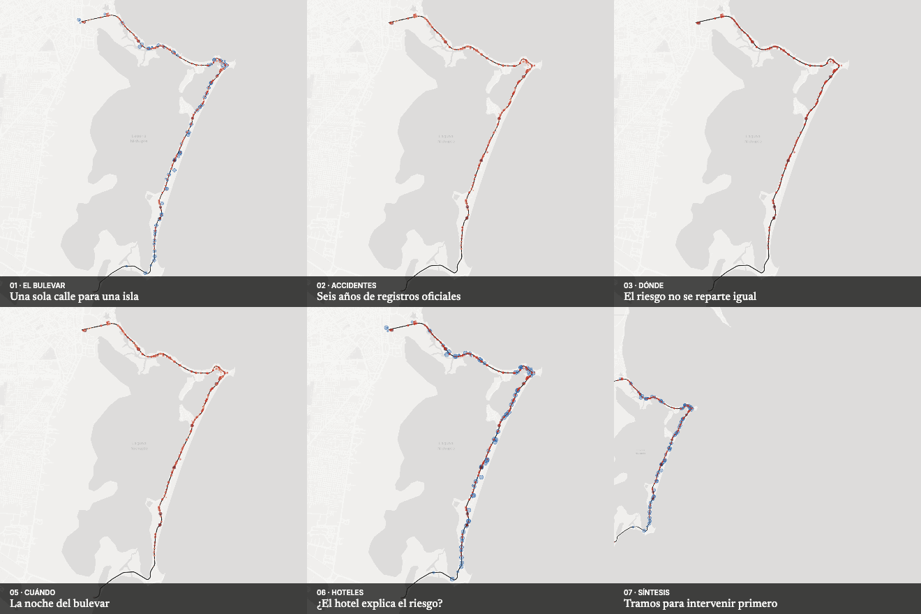 The hotel boulevardRanks the boulevard's segments by victims: five 500 m segments account for 32% of them.
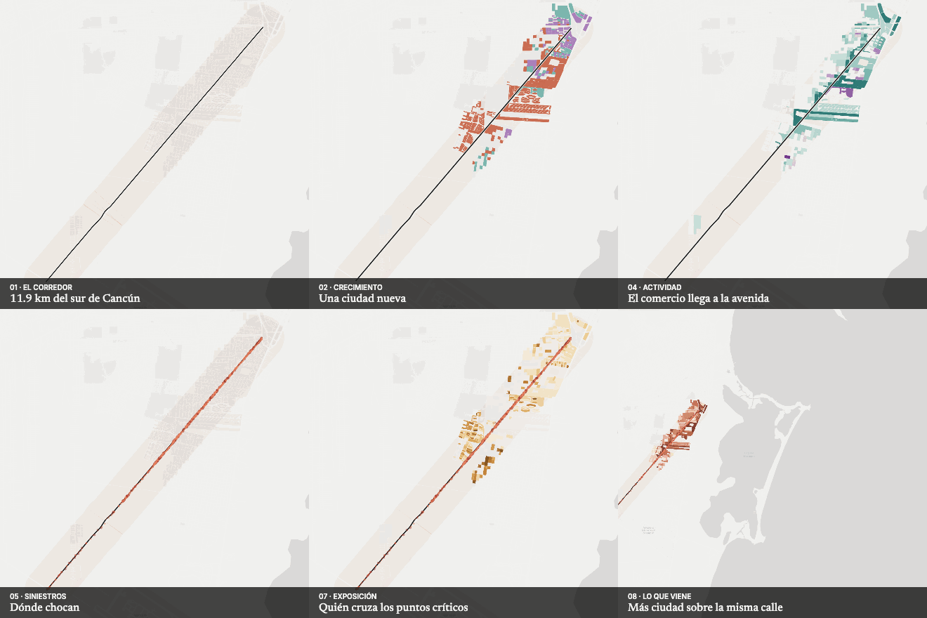 The city arrived before the streetLinks evidence of growth, exposure and crashes to each segment of the corridor.
Reference reading
From the library, which is organised in Spanish; titles appear in their original language.
- Towards Safe System Infrastructure: A Compendium of Current KnowledgeAustroads · 2018
- Seguridad peatonal: manual de seguridad vial para instancias decisorias y profesionalesOMS · 2013
- Impact Speed and a Pedestrian's Risk of Severe Injury or DeathBrian Tefft · AAA Foundation · 2011
- Managing SpeedOMS · 2017
- Designing Streets for KidsGDCI / NACTO · 2020
- Evaluate Street Transformations Near SchoolsGDCI · 2024
- Designing for Safe SpeedsGDCI
- Guía Global de Diseño de CallesGDCI / NACTO · 2016
- Impactos de la reducción de los límites de velocidad en áreas urbanasWRI
- A Political Economy Analysis of the Rise of School Streets in Europe and Around the WorldFIA Foundation
- 1, 2, 3 por la niñezLiga Peatonal · 2021
- Manual para intervención: diseñar calles más seguras para todosCamina (México)
Prioritise road-safety interventions
Tell us what you want to decide. The request arrives with this line already selected.
Propose a project