Back to Land and Urban Regulation
Flood risk has an age
14,000 people live in high flood risk; those over 65 are overrepresented.
The risk people live in · Who lives where the land itself is dangerous?
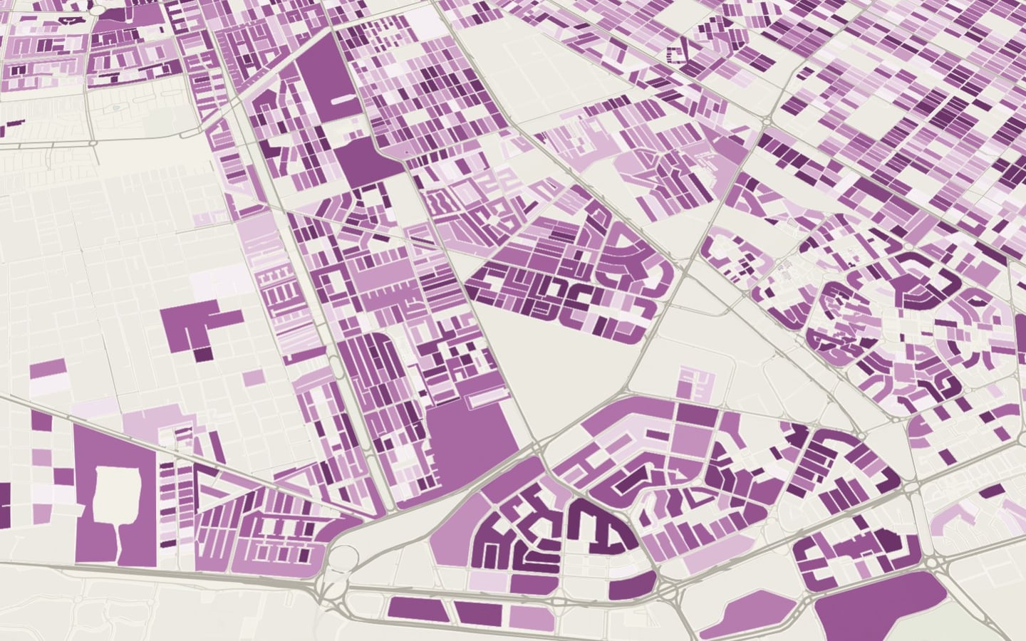
Who lives in Cancún’s flood and cenote-risk zones: some 14,300 people in high-flood areas, with more older people than in the rest of the city. And one in five people in Cancún lives more than 1 km from a shelter.
Read the technical noteThe first two pages, online. The full note is sent by email on request.
The problem
A risk map says where the ground may flood or sink. It doesn’t say who lives there, or whether that person can get out.
To decide whom to protect first in a heavy rainstorm, you need people: how many live in each hazard zone, how old they are, whether they have a disability and how far away the shelter is.
What we found
Older adults are more exposed to flooding
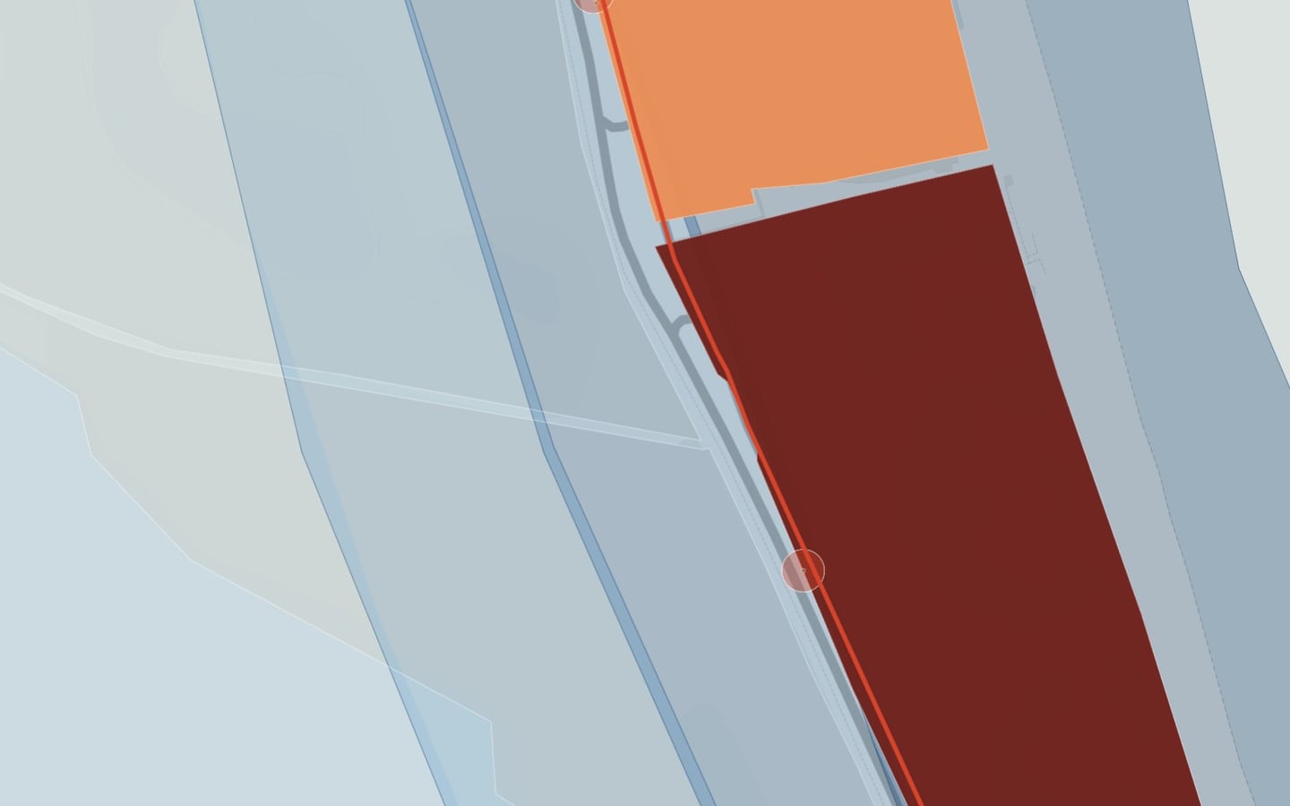
About 14,300 people live in high or very high pluvial-flood zones. There, the share of people aged 65 and over is 1.47 times the city’s; the share of young children, by contrast, is 0.77 times.
Cenote risk affects people with disabilities more
High risk of cenote collapse reaches about 19,300 people; people with a disability are 1.24 times more represented there than in the city. Adding storm surge, 36,468 people live in at least one high hazard.
One in five people has a shelter more than 1 km away
21% of the population lives more than 1 km in a straight line from the nearest shelter, including 10,524 people aged 65 and over; no shelter is in the Hotel Zone.
Shelters have electricity, but no generator
The 82 shelters with a known location report electricity and a first-aid kit; none reports fire extinguishers, a generator or window shutters. 58 open only as a third resort.
Almost one in five people can’t reach any shelter within a 15-minute walk
Using 15-minute walking isochrones from each superblock, 157,106 people (18.5%) live in 144 superblocks that reach no shelter; 9,770 are 65 or older and about 2,460 live in high flood zones.
Drivers report flooding where the atlas marks it, and in many other places
Flooded-street alerts are 3.1 times more frequent in high flood zones than traffic alerts; even so, 81% occur outside any mapped zone.
Thousands of high-risk homes have no car to evacuate
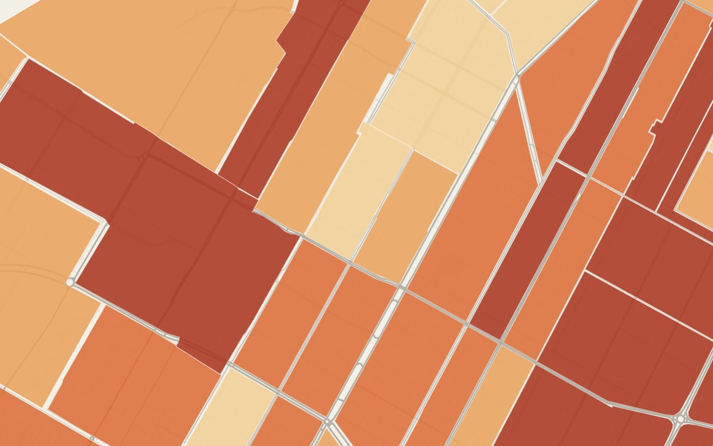
In high-risk blocks (26,100 people) there are 4,700 homes without a car; half of them in eight superblocks: SM 249 (600), Costa Azul 2 (340), El Arrecife (330), Tierra Maya (SM 107 and 105) and Donceles (220), among others.
3,100 people at high risk are more than 1 km from a shelter
71% live in Porto Alegre, Bahía Dorada, SM 510, Ek Balam, SM 75, Almena, Arboledas and Andalucía.
Hazard zones keep gaining residents
The population of high-risk blocks grew 6% between 2010 and 2020.
The bus could support evacuation
With the proposed route restructuring, 99% of the high-risk population would have a route within 400 m (today, 85%): assisted evacuation can rely on the bus network.
See it on the map
What we recommend
An assisted-evacuation plan in those superblocks, with a voluntary registry of households without a car and pickup points, and nearby shelters in the eight where the shelter is far away.
Risk is lived in, and growing, above all among those who depend on walking to reach safety.
Overlay of risk layers with block-level census data, measurement of distance to shelters and cartographic storytelling · Benito Juárez, Quintana Roo · 2026
Facing a similar problem?
We can run this analysis for your city, with your data and your question.
Relevant for
- Planning institutes and departments
- Municipal governments and councils
- Developers and real estate funds
- Firms that prepare plans