Back to Mobility and Accessibility
Fewer crashes, more deaths
Crashes without injuries fall 70%; deaths double.
A reduction that changes shape · Did the harm also go down?
31,598 traffic incidents in Guadalupe, Nuevo León, read by severity, neighborhood, avenue and hour: the total falls to a third, but pedestrian collisions and deaths do not. Three avenues account for one in five casualties.
Read the technical noteThe first two pages, online. The full note is sent by email on request.
The problem
Recorded traffic incidents in Guadalupe fell to a third between 2020 and 2024. Read as a total, the figure looks like good news.
Broken down by severity, and taken to each neighborhood, avenue and hour, it shows something else: what disappears is the minor collision; pedestrian collisions and deaths do not go down.
What we found
Property-damage-only crashes fall, but deaths rise
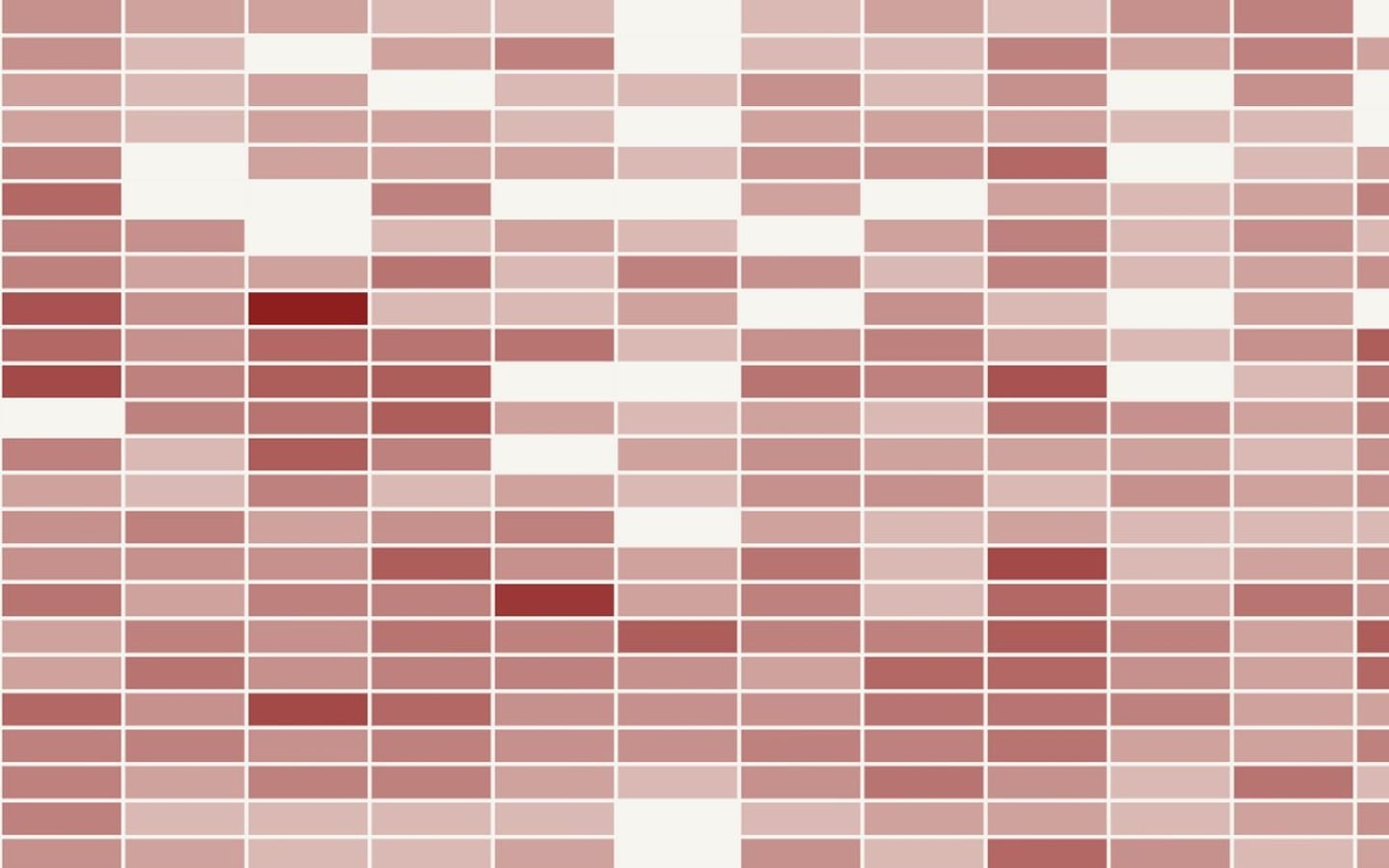
Property-damage-only incidents fell from 7,542 (2020) to 2,296 (2024); fatal incidents rose from 15 to 27 and people killed from 15 to 30.
Almost half of those killed in traffic were pedestrians
Being struck as a pedestrian is the deadliest type of incident (44 fatal incidents in six years); 52 of the 111 people killed were pedestrians.
Three avenues account for one in five of the municipality’s casualties
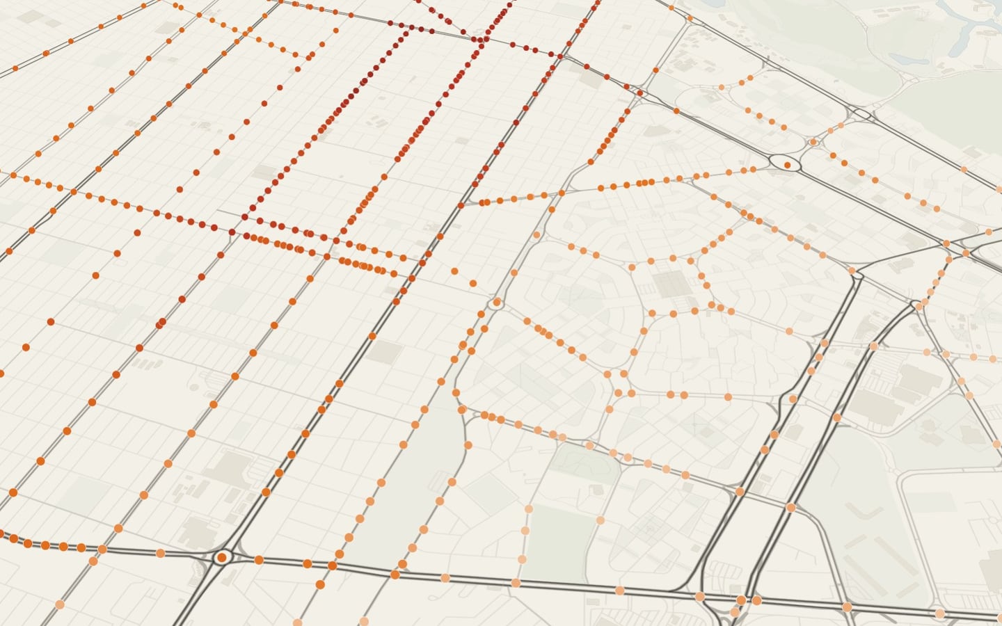
Eloy Cavazos, Benito Juárez and Pablo Livas account for 20% of all incidents with casualties; Eloy Cavazos totals 14 fatal incidents.
Prevention territories have more traffic casualties than their size would suggest
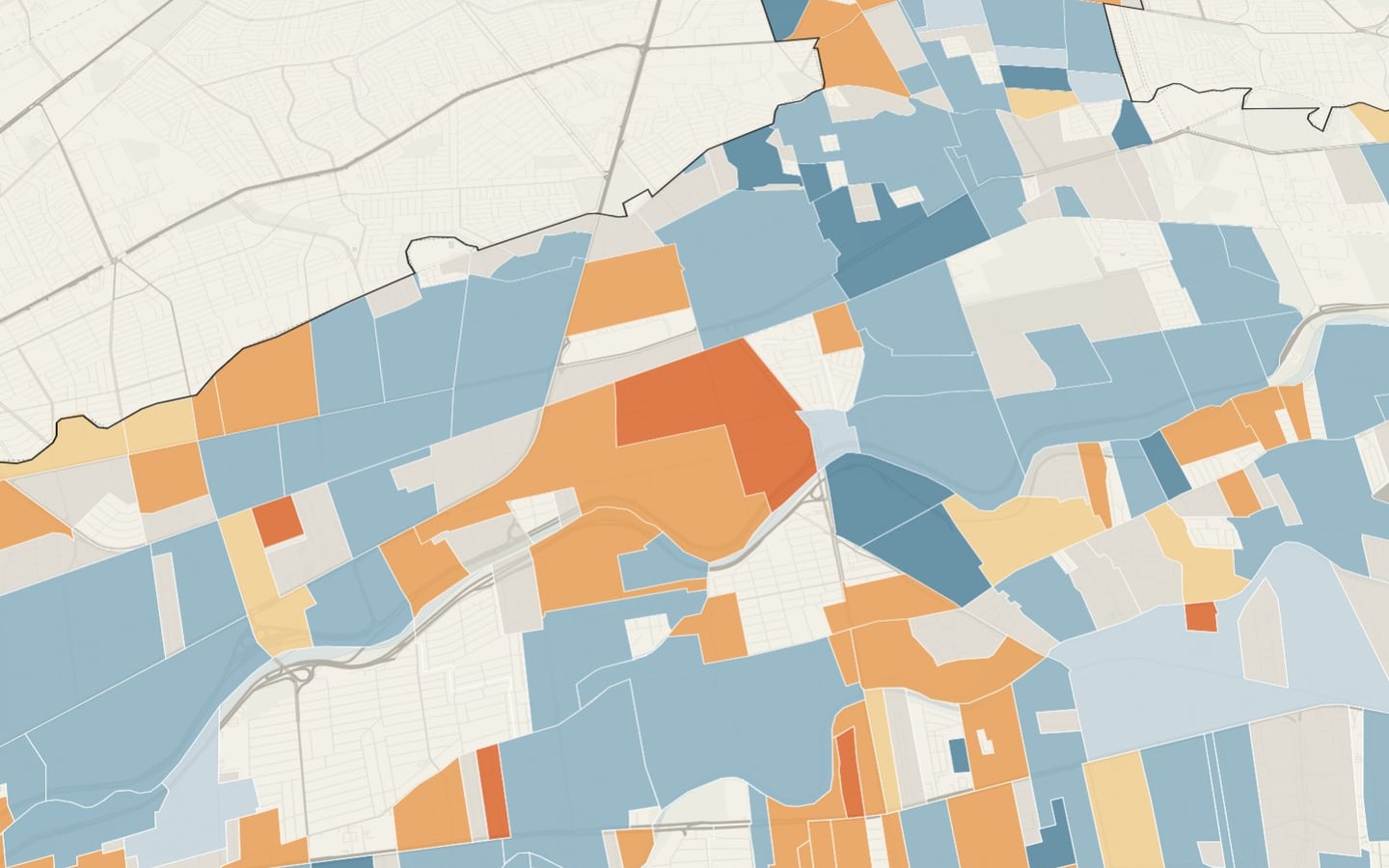
The eleven monitored territories cover 6.3% of the area and account for 9.5% of traffic casualties and 10.8% of injured pedestrians.
One neighborhood concentrates an extreme number of injured pedestrians
Jardines de Andalucía totals 77 traffic casualties, 41 of them pedestrians.
See it on the map
What we recommend
Plan road safety and prevention together in Tres Caminos, Azteca and Cañada Blanca: crossings, lighting and speed on the same streets.
Road safety and prevention share the same territory and the same streets.
Analysis of georeferenced open data, severity-based reading and cartographic storytelling · Guadalupe, Nuevo León · 2026
Facing a similar problem?
We can run this analysis for your city, with your data and your question.
Relevant for
- Mobility and planning departments
- Road-safety and school-mobility programs
- Care and social-development programs
- International organizations and funders