Back to Mobility and Accessibility
The north walks less
How much daily life fits in a 15-minute walk in Mexico's 17 metropolitan areas of more than one million people.
Metropolitan Proximity Index · How much city fits within a fifteen-minute walk in Mexico’s large metro areas?
Half of Mexico City’s residents can reach 628 everyday places or more within a fifteen-minute walk; in Tijuana, 130. We measured Mexico’s 17 metro areas of more than a million people with the same yardstick, using open data only.
Read the technical noteThe first two pages, online. The full note is sent by email on request.
What we found
Households without a car don’t live closer to services, except in Mexico City
In Mexico City, households without a car live where more places can be reached on foot (667, versus 579 for households with a car); in Tijuana and Juárez they live as far away as everyone else (131 and 161).
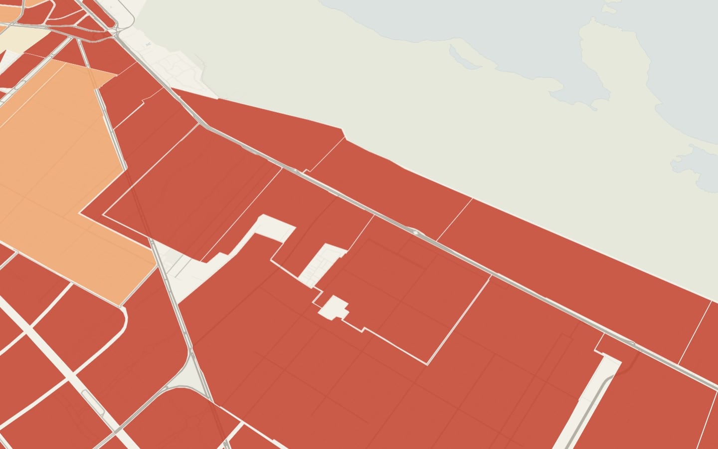
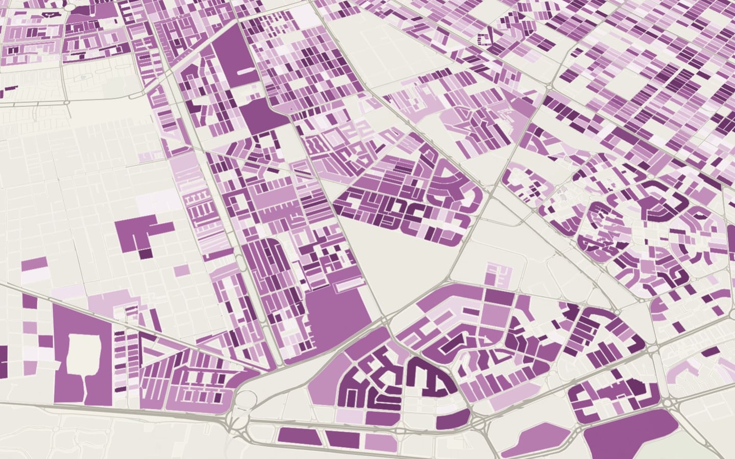
The lowest proximity is in mass housing on the periphery and in upscale gated subdivisions
Each city’s lowest values recur in these two kinds of place: for example, Villas del Campo in Toluca, Urbiquinta del Cedro in Tijuana and Valle Alto in Culiacán, and Condado de Sayavedra in the Valley of Mexico.
The dense working-class neighborhood has the most services within walking distance
Nezahualcóyotl, with an index of 86, is the municipality with the highest proximity of the 17 metropolitan areas: its dense grid and neighborhood shops outperform any financial district.
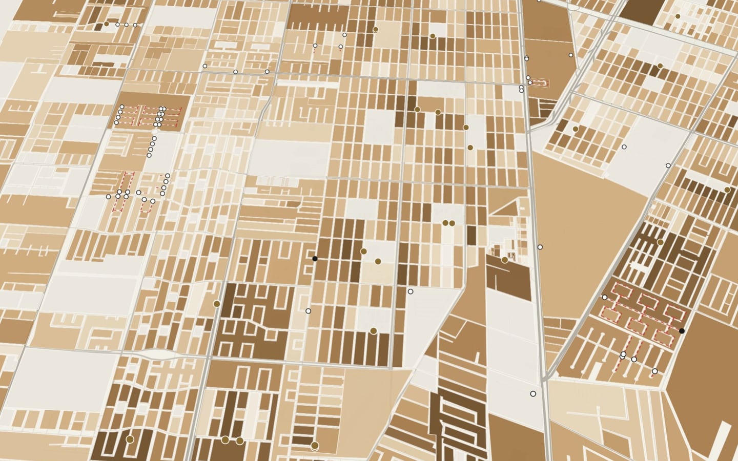
2.2 million people live in dense areas with few services within walking distance
They live in the densest areas of the 17 metropolitan areas, but with low proximity: 487,000 in Monterrey, 416,000 in Guadalajara, 411,000 in Mexico City and 339,000 in Tijuana, where they are 17% of the population. Conversely, 1.8 million live where there is high proximity and low population: there the city can take in more residents without moving them away from everyday life.
Northern metropolitan areas have fewer services within walking distance
The six metropolitan areas with the lowest index are in the north: Tijuana (29.6), Juárez (31.1), Mexicali (32.0), Saltillo (37.1), La Laguna (37.6) and Monterrey (39.3).
Proximity comes from density, not city size
The ranking of metropolitan areas by urban density closely resembles the ranking by proximity; size barely explains it. San Luis Potosí and León outperform Monterrey, which has four times their population.
The new periphery is far from everything
In the Guadalajara metropolitan area, the central municipality has an index of 74 and Tlajomulco de Zúñiga, 25; in Querétaro, El Marqués reaches 19.
Care and schools are what is most lacking within walking distance
Between 3% and 9% of each metropolitan area’s population has no care service within a fifteen-minute walk, and up to 15% has no school.
The full research report
Theoretical framework, method, results and appendices
Metropolitan Proximity Index: the technical document behind the atlas.
It brings together the question, the theoretical framework, the method, the full results and the cross-reading with the city’s other layers.
The problem
Mexico's large metro areas grew more in area than in population, and the distance between home and everyday life became a cost paid above all by people without a car. Measuring it the same way in every city shows where the problem is and how big it is.
Comparing cities requires measuring them the same way. With a single scale, a city can see how far everyday life is from its residents compared with other cities, and where to act first.
What we recommend
Use the index as a target and a yardstick for urban development programs: bring daycares, primary care and schools to the areas where the 20% of people in the 17 metro areas with the least proximity live, and make new housing developments conditional on nearby basic services.
Proximity depends not on a city's size but on its form: dense, mixed-use cities keep everyday life within fifteen minutes; sprawling ones have handed it over to the car.
How it is measured The full method, step by step, is in the interactive atlas. Open the atlas
Walking and cycling trip modeling, national index and cartographic storytelling · Mexico · 17 metro areas · 2026
Facing a similar problem?
We can run this analysis for your city, with your data and your question.
Relevant for
- Mobility and planning departments
- Road-safety and school-mobility programs
- Care and social-development programs
- International organizations and funders