Back to Mobility and Accessibility
The fast street concentrates deaths
Roads with a 60 km/h limit are 18% of the network and account for 56% of fatal crashes.
Street, Home and Center · Bogotá · What do the street, the home and the center say about Bogotá?
Three readings of Bogotá with public data. Roads with a 60 km/h limit are 17.9% of the network and account for 56.3% of fatal crashes; vacant housing falls from 6.7% where there is less of the city nearby to 3.4% where there is more; retail forms neighborhood centers in Kennedy, Engativá, Bosa and Suba.
Read the technical noteThe first two pages, online. The full note is sent by email on request.
The problem
With the same public sources, three things a city needs to decide can be read: where the street kills, where there is vacant housing close to everyday life, and where the centers it already has are.
What we found
Crashes are placed correctly on the street, though by address
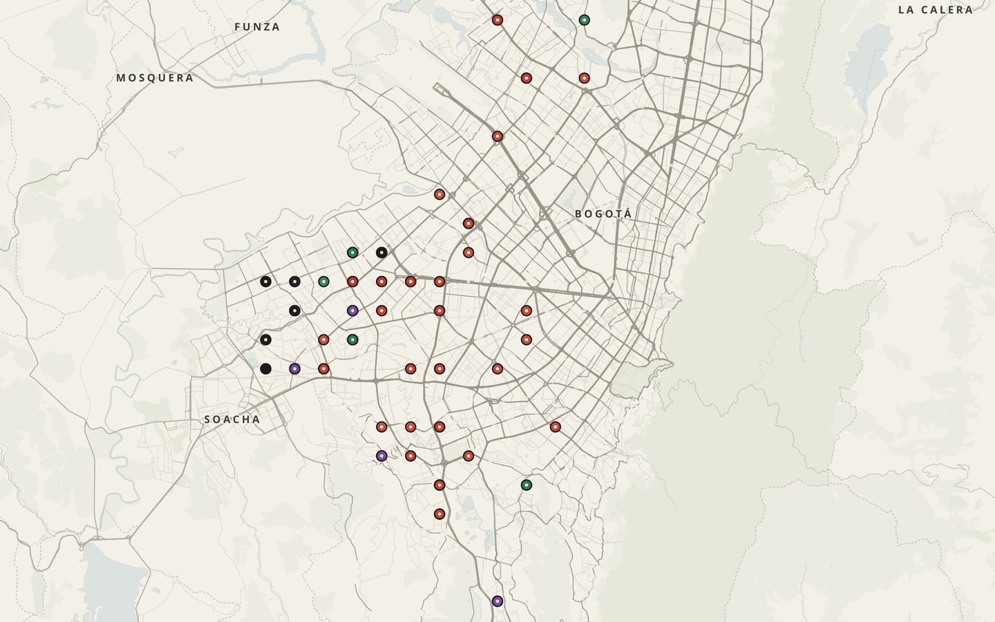
Half of the 209,861 recorded crashes are 0.1 m or less from the road centerline, and in 97.4% the segment the record declares is the nearest one. But the points were located from the address, not at the exact site of the event: they serve to compare streets and zones, not to study a corner with meter-level precision.
Roads with a 60 km/h limit have almost seven times as many fatal crashes
Roads with a 60 km/h limit record 16.24 fatal crashes a year per 100 km of road, against 2.38 on 30 km/h roads. Each kilometer of fast road weighs almost seven times as much in fatal crashes as one of slow road.
In strata 1 to 3, housing far from services is more often vacant
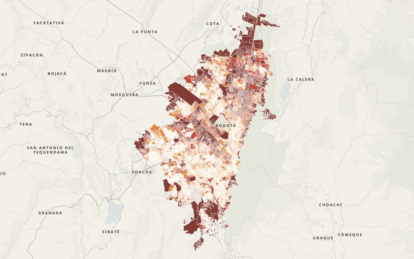
In stratum 2, housing in the areas with the least proximity has a 6.1% vacancy rate, and in the areas with the most proximity, 2.3%. In strata 1 to 3, closeness to everyday life is associated with housing being occupied; in strata 4 to 6 vacancy is high at every level of proximity, so other factors weigh there.
Bogotá has many neighborhood centers, besides its downtown
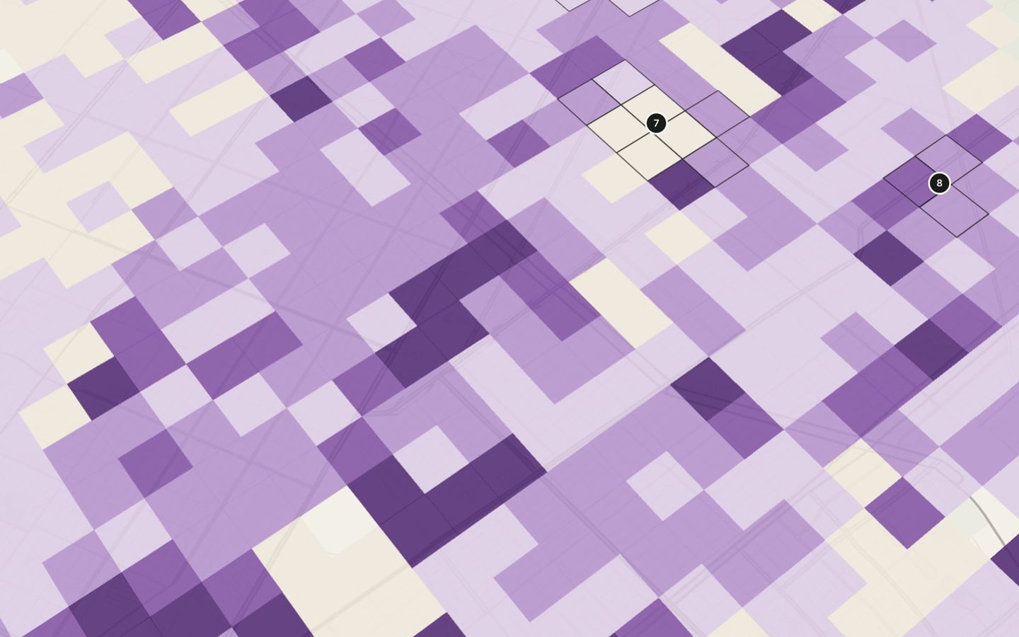
669 cells of 250 m hold 36.6% of the city’s retail units, and 16.4% of the population lives in them: they are neighborhood centers spread across the whole city. Service units are more concentrated, in the expanded center and the north.
A few avenues account for most of the deaths
AK 72 recorded 152 fatal crashes between 2015 and 2021, AK 86 recorded 91 and AK 30, 85. Per kilometer, the highest rates are on AC 17, DG 16, AC 26 Sur and Carrera 10, between 4.6 and 5.6 fatal crashes per 10 km a year.
A pedestrian collision is eight times more likely to be fatal than a vehicle collision
7.23% of pedestrian collisions are fatal; of collisions between vehicles, 0.86%. On Sundays, 2.22% of crashes are fatal, compared with about 1.5% on weekdays.
The well-served city has vacant housing for about 112,000 people
Proximity quintiles 4 and 5 had 36,854 vacant homes in 2018, 31.2% of the total. At the average household size, they could house about 112,000 people where services are already close.
See it on the map
What we recommend
Calm first the 60 km/h avenues with the most fatal crashes per kilometer, with priority for pedestrians, and steer housing policy toward occupying the vacant homes in quintiles 4 and 5 before building far from services.
Bogotá’s public data are enough to tell apart the streets that kill, the homes waiting to be occupied and the neighborhood centers that already exist.
Verification of crash locations, corridor analysis, vacant housing and centers, and map narrative · Bogotá, Colombia · 2026
Facing a similar problem?
We can run this analysis for your city, with your data and your question.
Relevant for
- Mobility and planning departments
- Road-safety and school-mobility programs
- Care and social-development programs
- International organizations and funders