Back to Mobility and Accessibility
The large city block lengthens the walk
Crossing a gated complex costs 1.66 times the straight line; opening its gates barely shortens it.
The Walled City · Bogotá · Do gated complexes lengthen walking trips in Bogotá?
Walking across a large condominium city block with signs of enclosure means walking 1.66 times the straight line, against 1.39 on an ordinary city block. About 1.4 million people live in complexes that work as gated; the detour comes from the size of the city block they produce.
Read the technical noteThe first two pages, online. The full note is sent by email on request.
The problem
A gated complex turns the city block into a wall for those walking around it and into a gatehouse for those who live inside. Measuring the detour shows how much that way of building the city weighs on walking trips.
What we found
The detour is caused by the size of the city block, and almost all large city blocks are complexes
A gated complex does not force a longer detour than another city block of the same size without enclosure. But 71.1% of residential city blocks of 1 ha or more are condominium complexes: the complex is how Bogotá produced most of its large city blocks.
Opening existing complexes barely shortens trips
If the internal private roads already in OpenStreetMap were opened to through traffic, only 4.2% of the trips around gated complexes would be shortened, because those roads are bays and dead-end accesses. Shortening trips would require new public passages through the city blocks.
For those who live inside, the gatehouse lengthens every trip out
From a point inside a complex, the nearest gate is 76 m away at the median, while the edge of the city block is 19 m away. Every walk out begins with an internal trip to the gatehouse.
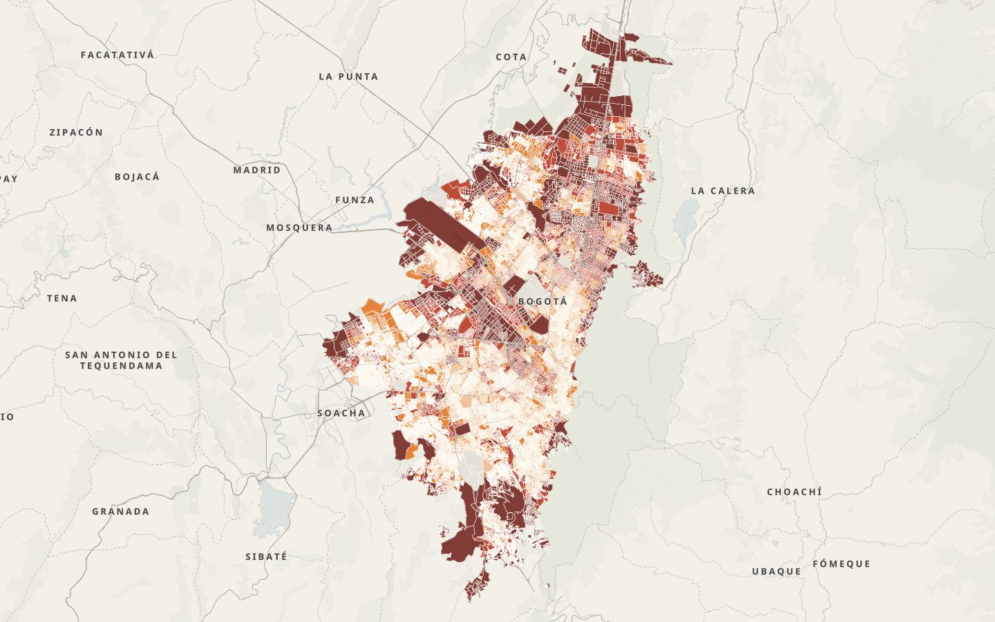
Fontibón, Suba, Usaquén and Kennedy are the localities with the most people in gated complexes
In those four localities, between 33% and 42% of the population lives in large complexes with signs of enclosure recorded in OpenStreetMap.
Enclosure is concentrated where proximity is lowest
49.0% of people in the lowest-proximity quintile live in large gated complexes, against 5.0% in the highest. Part of that low proximity may come from the enclosure itself, because the index is measured on the public network.
The enclosure signal sets complexes apart
77.3% of large condominium complexes show evidence of enclosure in OpenStreetMap; among large residential blocks that are not complexes, only 7.9%.
Each block crossing adds 149 m
Walking around a large gated complex adds, at the median, 149 m per crossing, against 52 m for an ordinary block of 0.3 to 1 ha.
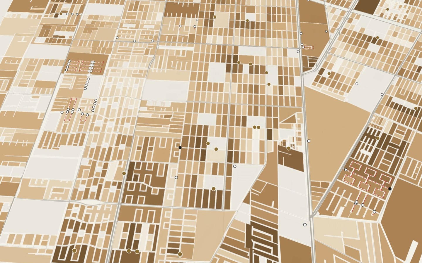
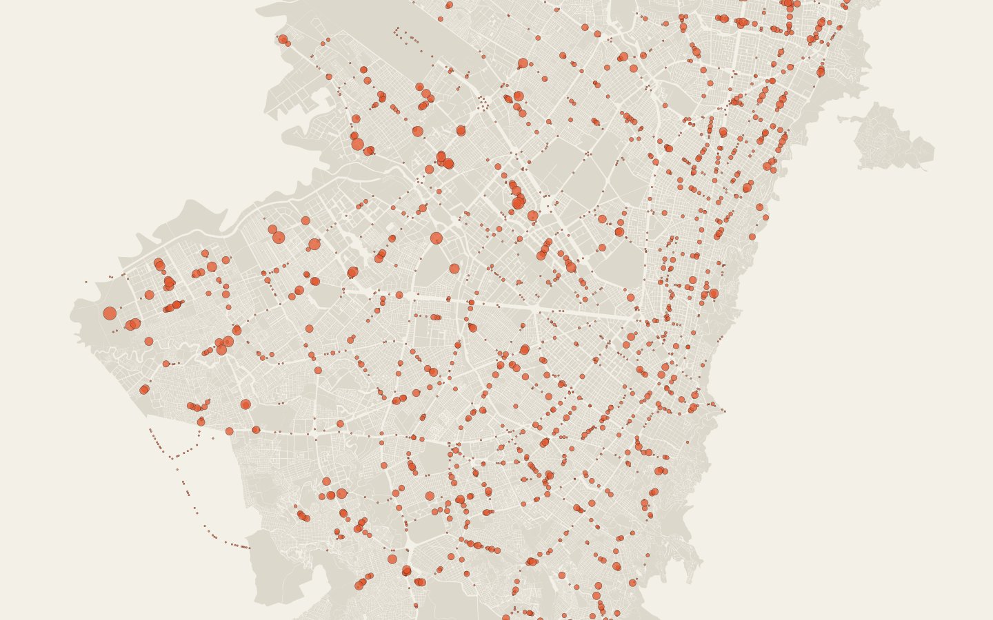
See it on the map
What we recommend
Set a maximum block size or public passages every 100 to 150 m in new developments, and negotiate rights of way in the largest existing complexes, where the detour is greatest.
Pedestrian passage is not restored by opening gates: it has to be designed.
More from this project The walled city · Cancún
Identification of complexes with cadastre and OpenStreetMap, detour index and manual validation · Bogotá, Colombia · 2026
Facing a similar problem?
We can run this analysis for your city, with your data and your question.
Relevant for
- Mobility and planning departments
- Road-safety and school-mobility programs
- Care and social-development programs
- International organizations and funders