Back to Land and Urban Regulation
The avenue arrives late
On the southern edge, housing and the zonal bus arrive before the arterial road; in the new complexes, before the public street.
The City Before the Street · Bogotá · Who reaches the city before the street does?
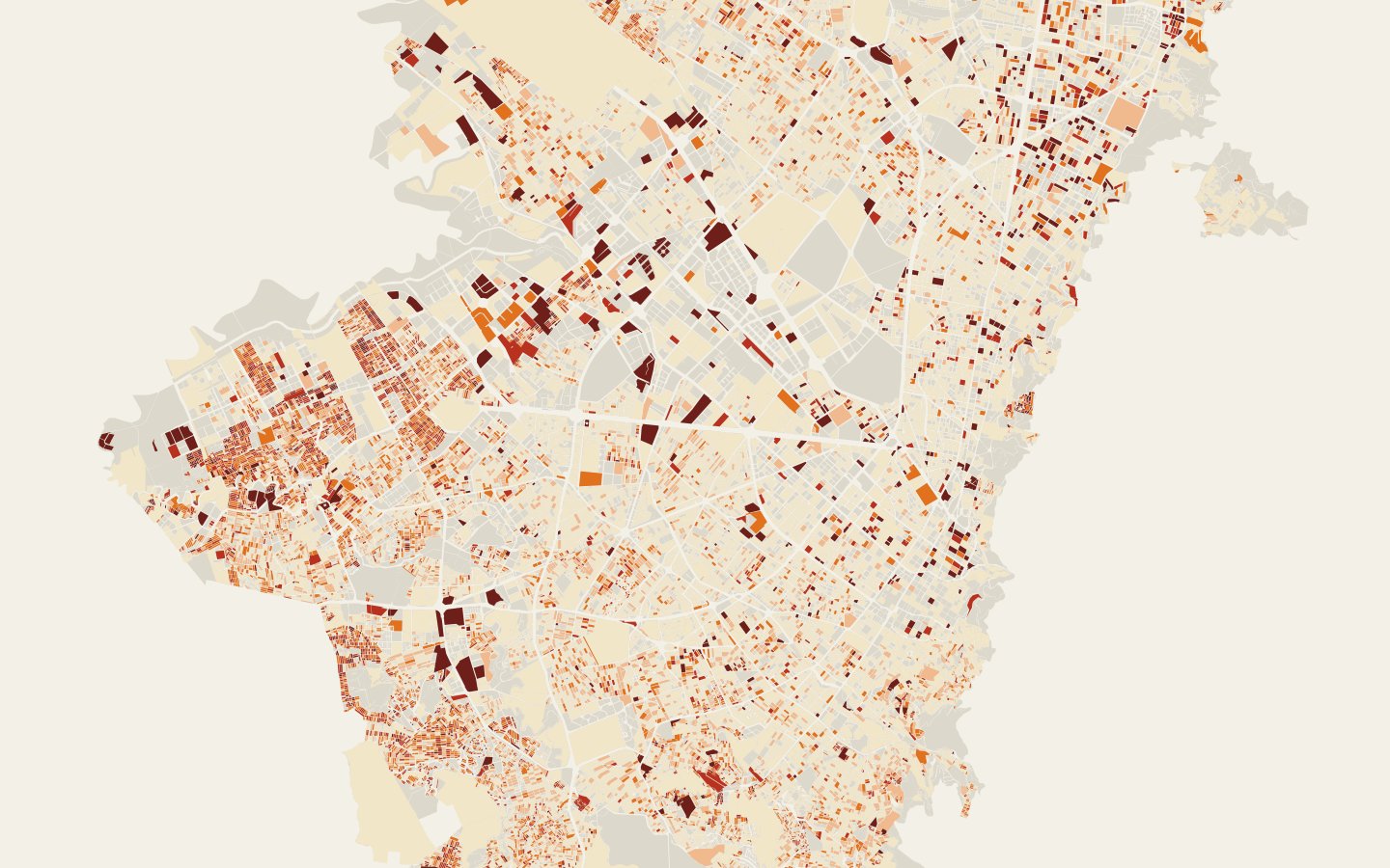
On Bogotá’s edge, a minimal street is almost always there: only 0.2% of new m² are more than 25 m from a street. What arrives late is the avenue in the south, where half of what is new is more than 790 m from an arterial road, and the public street and the stop in the new complexes of the west and the north.
Read the technical noteThe first two pages, online. The full note is sent by email on request.
The problem
When housing arrives before the street, transit and services, the people who live there pay the difference in time and in risk. Measuring what arrives first on each edge shows what public works are missing, and where.
What we found
On the southern edge, housing and the bus arrive before the avenue
On the southern edge, 42.8% of the m² built since 2016 are more than 1 km from an arterial road; in the rest of the city, 3.3%. The bus stop, on the other hand, is as close as in the center, because the zonal system runs on local streets.
In the new neighborhoods on the edge, the public street comes later
On the edge city blocks developed from scratch between 2016 and 2026, only 62.9% of the perimeter faces a street; on those developed in the same period away from the edge, 78.1%. In addition, 23.5% of their m² are more than 500 m from a stop.
The official road map includes streets that do not exist yet
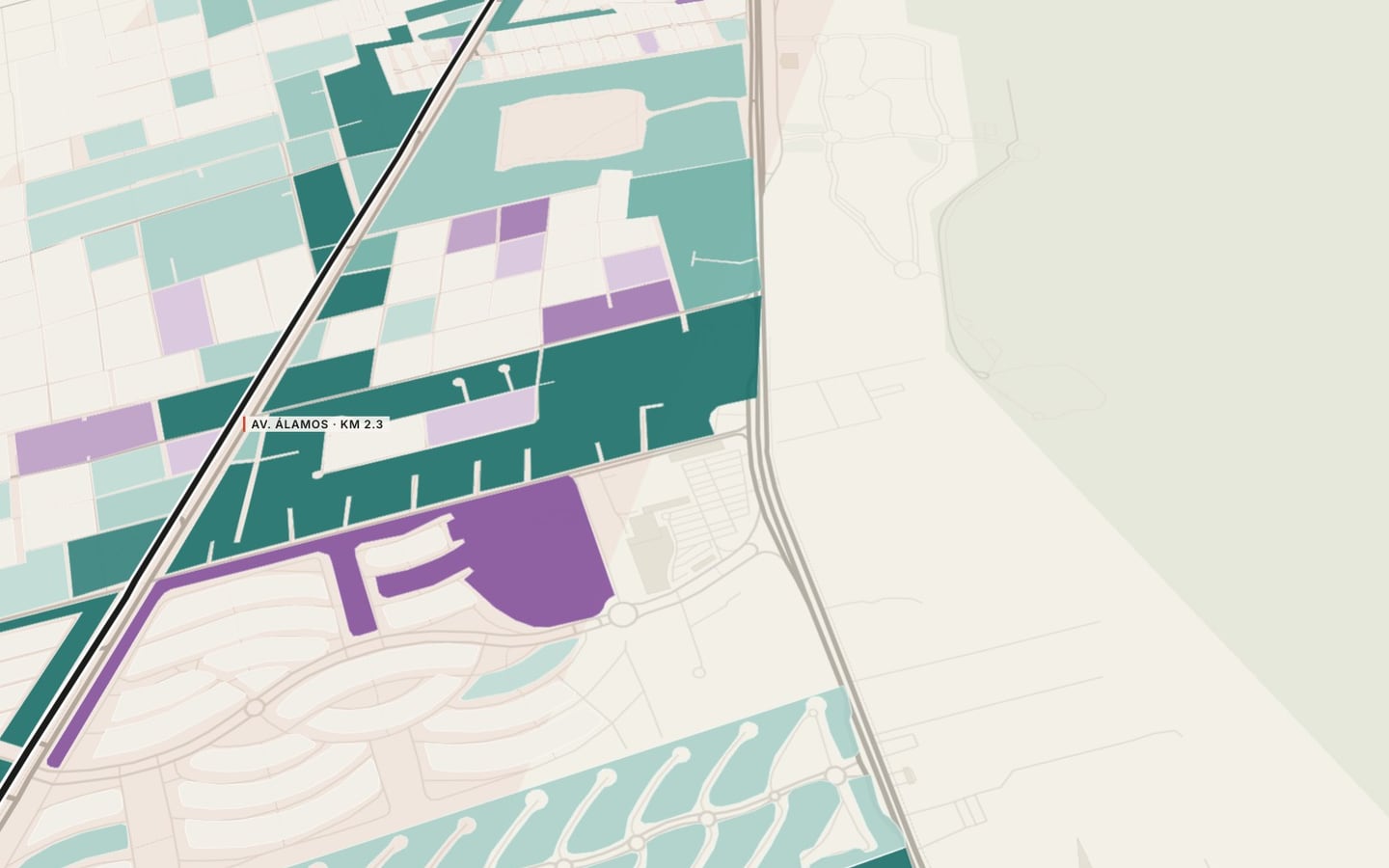
977.6 km of roadways in the District’s integrated road network have no equivalent road in OpenStreetMap: they are on the map, but possibly not on the ground. Next to those segments, 7.58 million new m² were built. Reading the city only from the official map overstates the street network those city blocks can count on.
On the southern edge, the bus runs on narrow streets
75% of the new m² on the southern edge face roadways less than 6 m wide, which the zonal system also uses. They are streets built for local traffic that now carry public transit as well.
A third of what is new lies at the edge
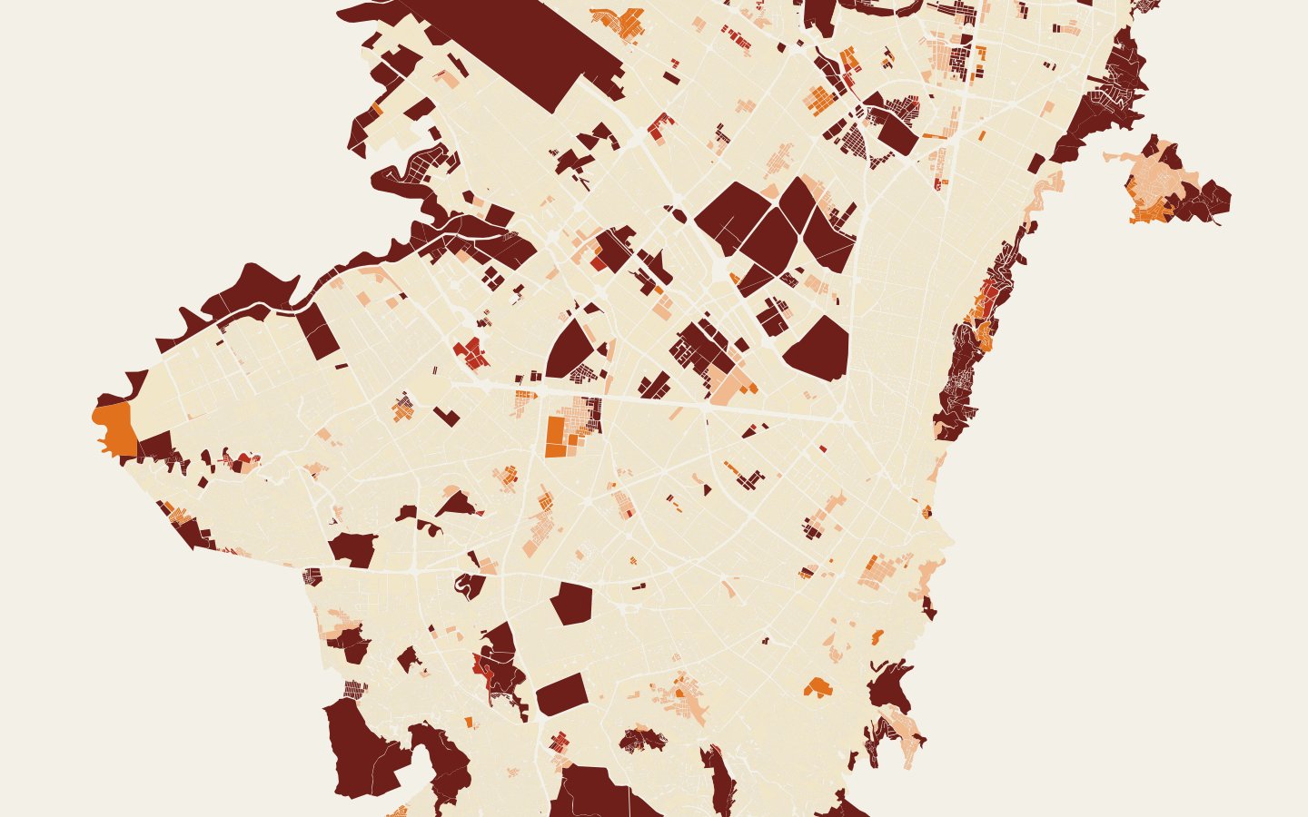
31.7% of new m² lies within 1 km of the edge of the urban footprint. The eastern edge grows upward with wide streets; the south, west and north add up to 7.8 million m².
Most of the missing streets are not avenues
Of the 977.6 km of mapped roadway with no street on the ground, 320.8 km are passages 4 m wide or less and 454.1 km have no recorded width. The longest missing avenue is AC 22 in Fontibón.
In the south, the stop arrives before the avenue
At the southern edge the median distance to a stop is 222 m, as close as in the center, because the zonal system runs on local streets; to an arterial road it is 790 m.
See it on the map
What we recommend
Open the Land Use Plan’s arterial roads at the southern edge first, require a public street and pedestrian passage in every new development in the west and north, and clean the road plan of passages and alignments that will not be built.
At Bogotá’s edge the basic street is almost always there; what arrives late changes from one edge to another, and each edge calls for a different instrument.
Cross-reading of new construction with the road network, OpenStreetMap and transit stops · Bogotá, Colombia · 2026
Facing a similar problem?
We can run this analysis for your city, with your data and your question.
Relevant for
- Planning institutes and departments
- Municipal governments and councils
- Developers and real estate funds
- Firms that prepare plans
We also
Related projects
 Where should the city grow, and under what conditions?Where is Bogotá growing, and does it reach where services already exist?
 Another scale: Corridor · segmentWhat happens when the city grows faster than its streets?
 Who has access, and who is left out?How far away is the bus, and how often does it come?