Back to Mobility and Accessibility
The public network is close to those who need it, except in Valparaíso
In Greater Santiago, 6.0% of people with the least schooling lack primary care within 1,500 m; in Greater Valparaíso, 26.6%.
The public network is close to those who need it, except in Valparaíso · Chile · Who lives close to public health care, schools and transport in Chilean cities?
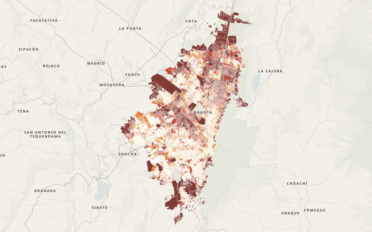
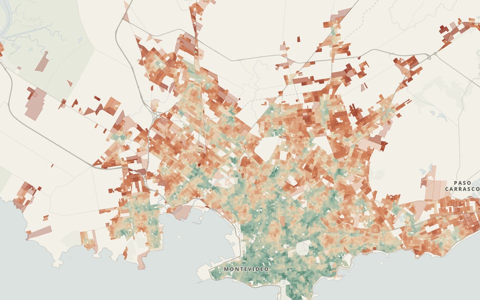
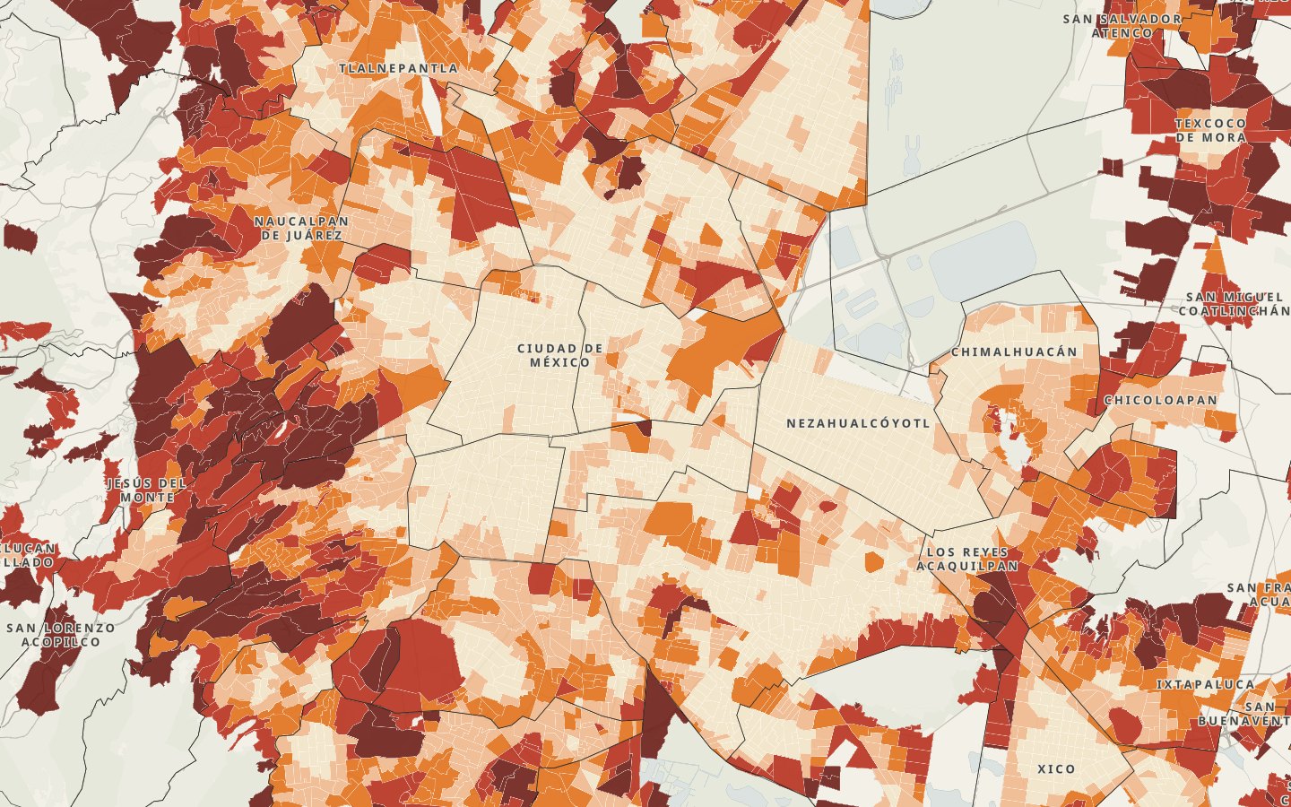
The Everyday Proximity Index of Greater Santiago, Greater Valparaíso and Greater Concepción: the walking distance along the street network from every block in the 2024 Census to health care, school, culture, transport, food and recreation, using the official inventories. In Greater Santiago, public health care, schools and stops are closer to people with fewer years of schooling; in Greater Valparaíso, they are not. What is missing most is public culture, and then public health care.
Read the technical noteThe first two pages, online. The full note is sent by email on request.
The problem
We measured the walking distance along the street network from every block to six everyday functions in Chile’s three largest metropolitan areas, with the official inventories and a single scale for all three. Then we crossed the result with the schooling the 2024 Census records in each block.
What we found
In Greater Santiago, the public network follows those who need it
In the quintile with the least schooling, 6.0% of people have no public primary care within 1,500 m; in the one with the most, 51.3%. The index falls from 56.2 to 45.4.
In Greater Valparaíso, the rule does not hold
In its quintile with the least schooling, 26.6% lack primary care within 1,500 m, 24.5% a primary school within 1,000 m and 40.4% a stop within 400 m.
What is missing most is public culture
66.3% of people have no public cultural venue within 1,200 m; between 28.5% and 43.1% have no public health care with direct care within that distance.
The order of the cities is robust
Greater Santiago 51.7, Greater Concepción 44.7 and Greater Valparaíso 42.4, in all seven versions computed. Comuna by comuna, the index ranks primary care like the SIEDU (correlation of 0.94).
See it on the map
How to read it
Distance is measured along a flat street network: on the hills of Valparaíso, Viña del Mar and Concepción it underestimates the effort of getting there.
Shared taxis (colectivos) have no stops and are not in the GTFS feeds: having no stop nearby is not the same as having no transport.
Food and recreation come only from OpenStreetMap, which records fewer corner stores in low-income areas; that is why food is not used as a finding.
Greater Santiago is 79% of the people: the percentiles measure Valparaíso and Concepción against Santiago’s distribution, and the figures are not compared with those of other countries.
The index compares the distance to what the inventories record: it does not measure quality, opening hours or capacity. Culture comes partly from a 2015 survey, which is sparse outside Santiago.
Left out are 119,990 people in blocks more than 150 m from the network, mostly gated housing complexes whose internal paths are not in OpenStreetMap, and the people the INE did not assign to a block.
How the data were checked
Health care: each public DEIS site was checked against OpenStreetMap; 92% have a health feature within 100 m, none falls outside its comuna and none had to be relocated.
Libraries: the national register only gives addresses; 58 of 62 were located, four of them on their street, and four without a verifiable location are left out.
Street network: taken from the OpenStreetMap extract of October 22, 2026; in two test areas it matches, node by node, the one osmnx builds for the same date.
SIEDU: only the 2018 baseline is valid, because in 2025 the INE invalidated the later measurements of the distance indicators.
Block-level computation of the proximity index with official inventories and comparison with the SIEDU standard · Greater Santiago, Greater Valparaíso and Greater Concepción, Chile · 2026
Facing a similar problem?
We can run this analysis for your city, with your data and your question.
Relevant for
- Mobility and planning departments
- Road-safety and school-mobility programs
- Care and social-development programs
- International organizations and funders